File:Gwynedd UK location map.svg
ナビゲーションに移動
検索に移動

この SVG ファイルのこの PNG プレビューのサイズ: 586 × 600 ピクセル. その他の解像度: 234 × 240 ピクセル | 469 × 480 ピクセル | 750 × 768 ピクセル | 1,000 × 1,024 ピクセル | 2,001 × 2,048 ピクセル | 1,275 × 1,305 ピクセル。
元のファイル (SVG ファイル、1,275 × 1,305 ピクセル、ファイルサイズ: 1.12メガバイト)
キャプション
キャプション
このファイルの内容を1行で記述してください
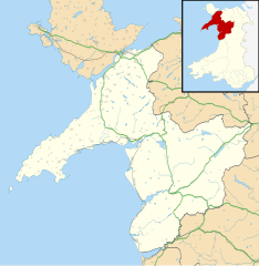
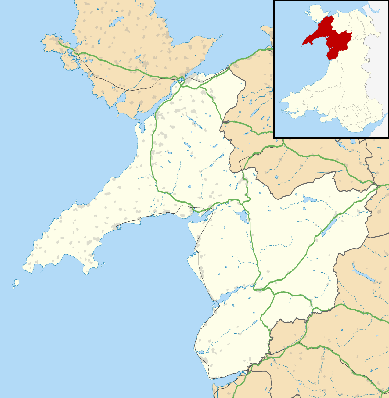
Map of Gwynedd, Wales
| 解説 |
Blank map of Gwynedd, UK with the following information shown:
Equirectangular map projection on WGS 84 datum, with N/S stretched 165% Geographic limits:
|
| 日付 | |
| 原典 |
|
| 作者 | Nilfanion, created using Ordnance Survey data |
| 許可 (ファイルの再利用) |
このファイルはクリエイティブ・コモンズ 表示-継承 3.0 非移植ライセンスのもとに利用を許諾されています。 帰属: Contains Ordnance Survey data © Crown copyright and database right
|
| その他のバージョン | File:Gwynedd UK map.svg - Blank map |
ファイルの履歴
過去の版のファイルを表示するには、その版の日時をクリックしてください。
| 日付と時刻 | サムネイル | 寸法 | 利用者 | コメント | |
|---|---|---|---|---|---|
| 現在の版 | 2010年9月26日 (日) 19:33 | | 1,275 × 1,305 (1.12メガバイト) | Nilfanion (トーク | 投稿記録) | {{Information |Description=Blank map of Gwynedd, UK with the following information shown: *Administrative borders *Coastline, lakes and rivers *Roads and railways *Urban areas Equirectangular map projection on WGS 84 datum, with N/S stretch |
このファイルは上書きできません。
ファイルの使用状況
以下の 2 ページがこのファイルを使用しています:
グローバルなファイル使用状況
以下に挙げる他のウィキがこの画像を使っています:
- ar.wikipedia.org での使用状況
- ba.wikipedia.org での使用状況
- ca.wikipedia.org での使用状況
- ceb.wikipedia.org での使用状況
- cy.wikipedia.org での使用状況
- de.wikipedia.org での使用状況
- en.wikipedia.org での使用状況
- Caernarfon
- Gwynedd
- Portmeirion
- Beddgelert
- List of monastic houses in Wales
- Blaenau Ffestiniog
- Aberdaron
- Narrow Gauge Railway Museum
- Porthmadog
- Bangor, Gwynedd
- Bethesda, Gwynedd
- Ffestiniog
- Llan Ffestiniog
- Harlech
- Criccieth
- Pwllheli
- Bardsey Island
- Llanberis
- Barmouth
- Dolgellau
- Tywyn
- Mochras
- Fairbourne
- Abersoch
- Llanbedr
- Aberdyfi
- Nasareth
- Nefyn
- Trawsfynydd
- Bala, Gwynedd
- Tremadog
- Tanygrisiau
- Llanystumdwy
- Y Rhiw
- Llanfaglan
このファイルのグローバル使用状況を表示する。