File:Gülzow - mapa okolic ok. 1930.jpg
Jump to navigation
Jump to search
Size of this preview: 800 × 506 pixels. Other resolutions: 320 × 202 pixels | 640 × 405 pixels | 1,024 × 648 pixels | 1,290 × 816 pixels.
Original file (1,290 × 816 pixels, file size: 360 KB, MIME type: image/jpeg)
Captions
Captions
Add a one-line explanation of what this file represents
| Description |
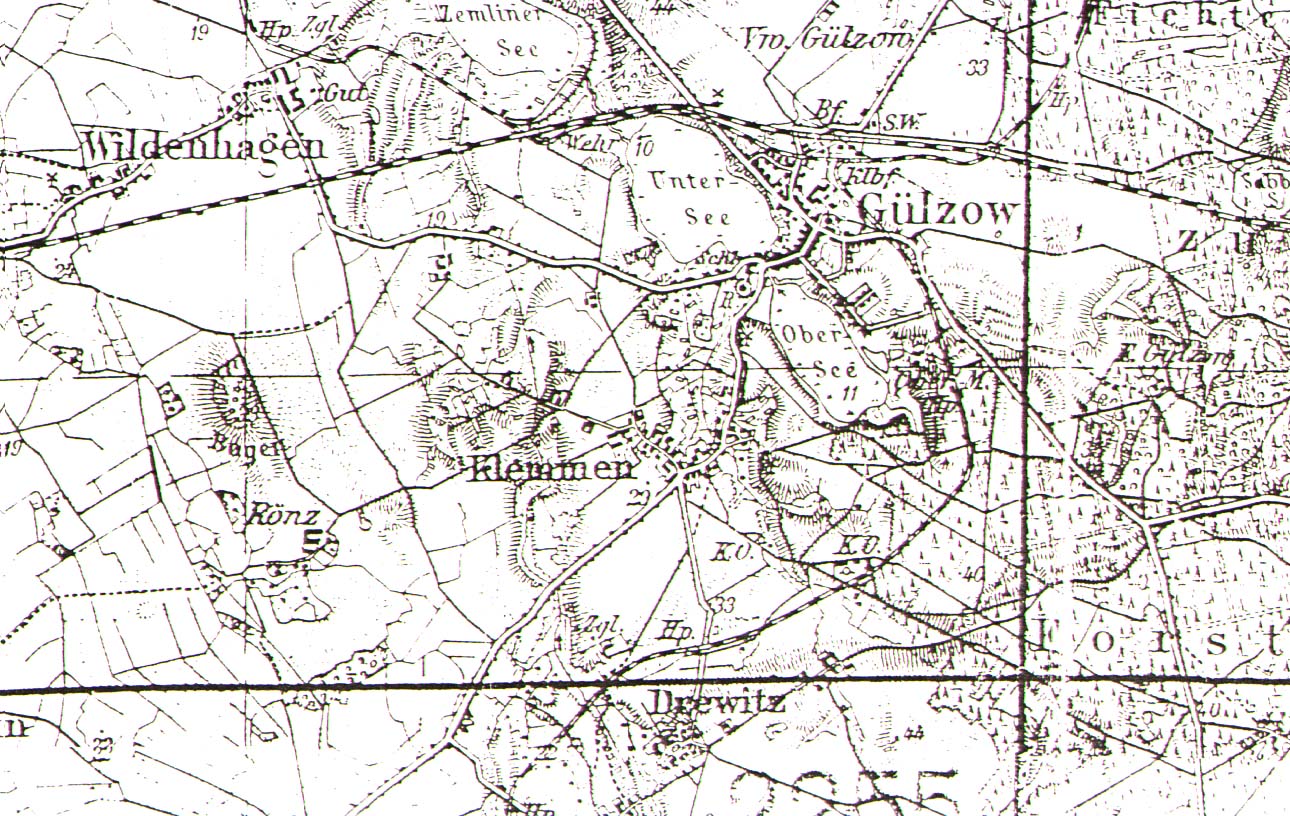
Polski: Niemiecka, przedwojenna mapa prezentująca Golczewo w latach 30. XX wieku. |
||||
| Date | lata 30. XX wieku | ||||
| Source | old map | ||||
| Author | missing data | ||||
| Permission (Reusing this file) |
|
||||
File history
Click on a date/time to view the file as it appeared at that time.
| Date/Time | Thumbnail | Dimensions | User | Comment | |
|---|---|---|---|---|---|
| current | 17:23, 6 February 2011 | | 1,290 × 816 (360 KB) | Zwiadowca21 (talk | contribs) | {{Information |Description = {{pl|1=Niemiecka, przedwojenna mapa prezentująca Golczewo w latach 30. XX wieku.}} |Source = Old postcard |Author = missing data |Date = lata 30. |
You cannot overwrite this file.
File usage on Commons
There are no pages that use this file.