File:Harpurhey, Orchid Street - geograph.org.uk - 1470079.jpg
跳转到导航
跳转到搜索
没有更高的分辨率。
Harpurhey,_Orchid_Street_-_geograph.org.uk_-_1470079.jpg (640 × 480像素,文件大小:68 KB,MIME类型:image/jpeg)
说明
说明
添加一行文字以描述该文件所表现的内容
摘要
[编辑]
| 描述 |
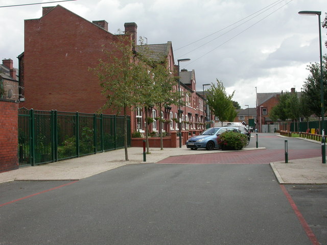
English: Harpurhey, Orchid Street Part of the Baytree Regeneration Scheme: unfit houses were demolished and surviving houses extended, houses were re-roofed and had solar panels installed, and the area was streetscaped. http://www.manchestereveningnews.co.uk/news/s/115/115869_2m_makeover_for_worst_place_to_live.html |
| 日期 | |
| 来源 | From geograph.org.uk |
| 作者 | Mike Faherty |
| 署名 (由许可协议要求) | Mike Faherty / Harpurhey, Orchid Street / |
| 相机位置 | | 在以下服务上查看本图像和附近其他图像: OpenStreetMap |
|---|
_heading:112.00&language=zh-sg)
| 物体位置 | | 在以下服务上查看本图像和附近其他图像: OpenStreetMap |
|---|
_heading:112.00&language=zh-sg)
许可协议
[编辑]

|
本图像来自Geograph工程图集。摄影师的联系信息请见Geograph网站上该照片的页面。本图像的著作权人为Mike Faherty,采用知识共享“署名-相同方式共享 2.0”许可协议授权二次使用。
|
本文件采用知识共享署名-相同方式共享 2.0 通用许可协议授权。
署名: Mike Faherty
- 您可以自由地:
- 共享 – 复制、发行并传播本作品
- 修改 – 改编作品
- 惟须遵守下列条件:
- 署名 – 您必须对作品进行署名,提供授权条款的链接,并说明是否对原始内容进行了更改。您可以用任何合理的方式来署名,但不得以任何方式表明许可人认可您或您的使用。
- 相同方式共享 – 如果您再混合、转换或者基于本作品进行创作,您必须以与原先许可协议相同或相兼容的许可协议分发您贡献的作品。
文件历史
点击某个日期/时间查看对应时刻的文件。
| 日期/时间 | 缩略图 | 大小 | 用户 | 备注 | |
|---|---|---|---|---|---|
| 当前 | 2011年3月2日 (三) 11:58 | | 640 × 480(68 KB) | GeographBot(留言 | 贡献) | == {{int:filedesc}} == {{Information |description={{en|1=Harpurhey, Orchid Street Part of the Baytree Regeneration Scheme: unfit houses were demolished and surviving houses extended, houses were re-roofed and had solar panels installed, and the area was s |
您不可以覆盖此文件。
文件用途
没有页面使用本文件。
全域文件用途
以下其他wiki使用此文件:
- en.wikipedia.org上的用途
- zh.wikipedia.org上的用途