File:Herefordshire UK location map.svg
跳至導覽
跳至搜尋

此 SVG 檔案的 PNG 預覽的大小:473 × 599 像素。 其他解析度:189 × 240 像素 | 379 × 480 像素 | 606 × 768 像素 | 808 × 1,024 像素 | 1,616 × 2,048 像素 | 999 × 1,266 像素。
原始檔案 (SVG 檔案,表面大小:999 × 1,266 像素,檔案大小:1.55 MB)
說明
說明
添加單行說明來描述出檔案所代表的內容
| 描述 |
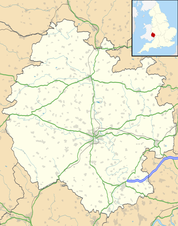
Map of Herefordshire, UK with the following information shown:
Equirectangular map projection on WGS 84 datum, with N/S stretched 160% Geographic limits:
|
| 日期 | |
| 來源 |
|
| 作者 | Nilfanion, created using Ordnance Survey data |
| 授權許可 (重用此檔案) |
此檔案採用創用CC 姓名標示-相同方式分享 3.0 未在地化版本授權條款。 姓名標示: Contains Ordnance Survey data © Crown copyright and database right
|
| 其他版本 | File:Herefordshire UK district map (blank).svg - Blank map |
.svg)
檔案歷史
點選日期/時間以檢視該時間的檔案版本。
| 日期/時間 | 縮圖 | 尺寸 | 使用者 | 備註 | |
|---|---|---|---|---|---|
| 目前 | 2010年9月26日 (日) 18:55 | | 999 × 1,266(1.55 MB) | Nilfanion(留言 | 貢獻) | {{Information |Description=Map of Herefordshire, UK with the following information shown: *Administrative borders *Coastline, lakes and rivers *Roads and railways *Urban areas Equirectangular map projection on WGS 84 datum, with N/S s |
無法覆蓋此檔案。
檔案用途
下列頁面有用到此檔案:
全域檔案使用狀況
以下其他 wiki 使用了這個檔案:
- ar.wikipedia.org 的使用狀況
- az.wikipedia.org 的使用狀況
- bg.wikipedia.org 的使用狀況
- ceb.wikipedia.org 的使用狀況
- cy.wikipedia.org 的使用狀況
- en.wikipedia.org 的使用狀況
- Hereford
- Kilpeck
- Eye, Herefordshire
- Symonds Yat
- Bacton, Herefordshire
- Leominster
- Kington, Herefordshire
- Ledbury
- Ross-on-Wye
- Bromyard
- Edvin Loach
- Weston under Penyard
- Pembridge
- Adforton
- Whitchurch, Herefordshire
- Welsh Bicknor
- Much Marcle
- Combe Moor
- Much Dewchurch
- Credenhill
- Welsh Newton
- Thornbury, Herefordshire
- Leintwardine
- List of places in Herefordshire
- Colwall
- Abbey Dore
- Weston Beggard
- Moreton on Lugg
- Peterchurch
- Cusop
- Weobley
- Llanwarne
- Pontrilas
- Yazor
- Eardisley
- Walford, Ross-on-Wye
- Little Hereford
- Preston on Wye
- Allensmore
- Hope under Dinmore
- Almeley
- Ashperton
- Aston Ingham
- Avenbury
檢視此檔案的更多全域使用狀況。