File:Hertfordshire UK location map.svg
Aller à la navigation
Aller à la recherche

Taille de cet aperçu PNG pour ce fichier SVG : 800 × 557 pixels. Autres résolutions : 320 × 223 pixels | 640 × 446 pixels | 1 024 × 713 pixels | 1 280 × 891 pixels | 2 560 × 1 782 pixels | 1 425 × 992 pixels.
Fichier d’origine (Fichier SVG, nominalement de 1 425 × 992 pixels, taille : 1,84 Mio)
Légendes
Légendes
Ajoutez en une ligne la description de ce que représente ce fichier
Nob!
| Description |
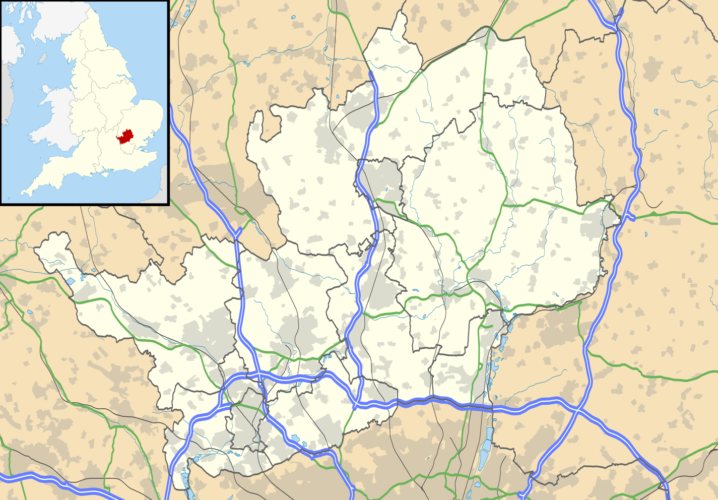
Map of Hertfordshire, UK with the following information shown:
Equirectangular map projection on WGS 84 datum, with N/S stretched 160% Geographic limits:
|
| Date | |
| Source |
|
| Auteur | Nilfanion, created using Ordnance Survey data |
| Autorisation (Réutilisation de ce fichier) |
Ce fichier est disponible selon les termes de la licence Creative Commons Attribution – Partage dans les Mêmes Conditions 3.0 (non transposée). Attribution: Contains Ordnance Survey data © Crown copyright and database right
|
| Autres versions | File:Hertfordshire UK district map (blank).svg - Blank map |
.svg)
Historique du fichier
Cliquer sur une date et heure pour voir le fichier tel qu'il était à ce moment-là.
| Date et heure | Vignette | Dimensions | Utilisateur | Commentaire | |
|---|---|---|---|---|---|
| actuel | 26 septembre 2010 à 18:56 | | 1 425 × 992 (1,84 Mio) | Nilfanion (d | contributions) | {{Information |Description=Map of Hertfordshire, UK with the following information shown: *Administrative borders *Coastline, lakes and rivers *Roads and railways *Urban areas Equirectangular map projection on WGS 84 datum, with N/S s |
Vous ne pouvez pas remplacer ce fichier.
Utilisations locales du fichier
La page suivante utilise ce fichier :
Utilisations du fichier sur d’autres wikis
Les autres wikis suivants utilisent ce fichier :
- Utilisation sur ar.wikipedia.org
- Utilisation sur bg.wikipedia.org
- Utilisation sur ceb.wikipedia.org
- Utilisation sur en.wikipedia.org
- Hatfield, Hertfordshire
- Hertfordshire
- St Albans
- Verulamium
- St Albans Cathedral
- Hatfield House
- Berkhamsted
- Bricket Wood
- Hemel Hempstead
- Hoddesdon
- Royston, Hertfordshire
- Hitchin
- Preston, Hertfordshire
- Apsley, Hertfordshire
- Welwyn Garden City
- Borehamwood
- Welwyn
- Watford tube station
- Harpenden
- Hertford
- Potters Bar
- Bishop's Stortford
- Tring
- Frithsden
- Rickmansworth
- Watford Junction railway station
- Nettleden
- Ringshall, Berkhamsted
- Much Hadham
- Kings Langley
- Mill Green Museum
- Baldock
- Buntingford
- Cheshunt
- Aldbury
- Ashridge
- Sawbridgeworth
- Ware, Hertfordshire
- Bovingdon
- London Colney
- Elstree Studios
- Bushey
- Redbourn
- Redbournbury Mill
- Elstree
- Warner Bros. Studios, Leavesden
- Willian, Hertfordshire
Voir davantage sur l’utilisation globale de ce fichier.