File:Hessen (Osterwieck) Grenzdenkmal Hessendamm Informationstafel-01.jpg
Jump to navigation
Jump to search

Size of this preview: 799 × 599 pixels. Other resolutions: 320 × 240 pixels | 640 × 480 pixels | 1,024 × 768 pixels | 1,280 × 960 pixels | 2,560 × 1,920 pixels | 5,333 × 4,000 pixels.
Original file (5,333 × 4,000 pixels, file size: 10.75 MB, MIME type: image/jpeg)
Captions
Captions
Add a one-line explanation of what this file represents
Summary[edit]
_Grenzdenkmal_Hessendamm_Informationstafel-01.jpg&action=edit§ion=1)
| Description |
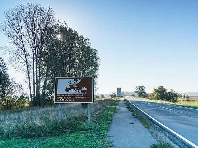
Deutsch: Informationstafel Teilung Deutschland und Europa zwischen Mattierzoll und Hessen an der B79, an der B 79 Hessendamm in Osterwieck OT Hessen
Text: Hier waren Deutschland und Europa bis zum 12. November 1989 um 7:58 Uhr geteilt.
|
| Date | |
| Source | Self-photographed |
| Author | Radler59 (talk) |
| Camera location | | View this and other nearby images on: OpenStreetMap |
|---|
_Grenzdenkmal_Hessendamm_Informationstafel-01.jpg¶ms=052.046453_N_0010.762320_E_globe:Earth_type:camera__&language=en)
Licensing[edit]
_Grenzdenkmal_Hessendamm_Informationstafel-01.jpg&action=edit§ion=2)
This file is licensed under the Creative Commons Attribution-Share Alike 4.0 International license.
- You are free:
- to share – to copy, distribute and transmit the work
- to remix – to adapt the work
- Under the following conditions:
- attribution – You must give appropriate credit, provide a link to the license, and indicate if changes were made. You may do so in any reasonable manner, but not in any way that suggests the licensor endorses you or your use.
- share alike – If you remix, transform, or build upon the material, you must distribute your contributions under the same or compatible license as the original.
File history
Click on a date/time to view the file as it appeared at that time.
| Date/Time | Thumbnail | Dimensions | User | Comment | |
|---|---|---|---|---|---|
| current | 21:23, 13 April 2020 | | 5,333 × 4,000 (10.75 MB) | Radler59 (talk | contribs) | Uploaded with LrMediaWiki 0.8.0, LR 5.7.1 Win |
You cannot overwrite this file.
File usage on Commons
The following page uses this file:
_Grenzdenkmal_Hessendamm_Informationstafel-01.jpg&oldid=707902350)