File:Highland UK location map.svg
ナビゲーションに移動
検索に移動

この SVG ファイルのこの PNG プレビューのサイズ: 556 × 600 ピクセル. その他の解像度: 222 × 240 ピクセル | 445 × 480 ピクセル | 712 × 768 ピクセル | 949 × 1,024 ピクセル | 1,898 × 2,048 ピクセル | 1,320 × 1,424 ピクセル。
元のファイル (SVG ファイル、1,320 × 1,424 ピクセル、ファイルサイズ: 5.26メガバイト)
キャプション
キャプション
このファイルの内容を1行で記述してください
| 解説 |
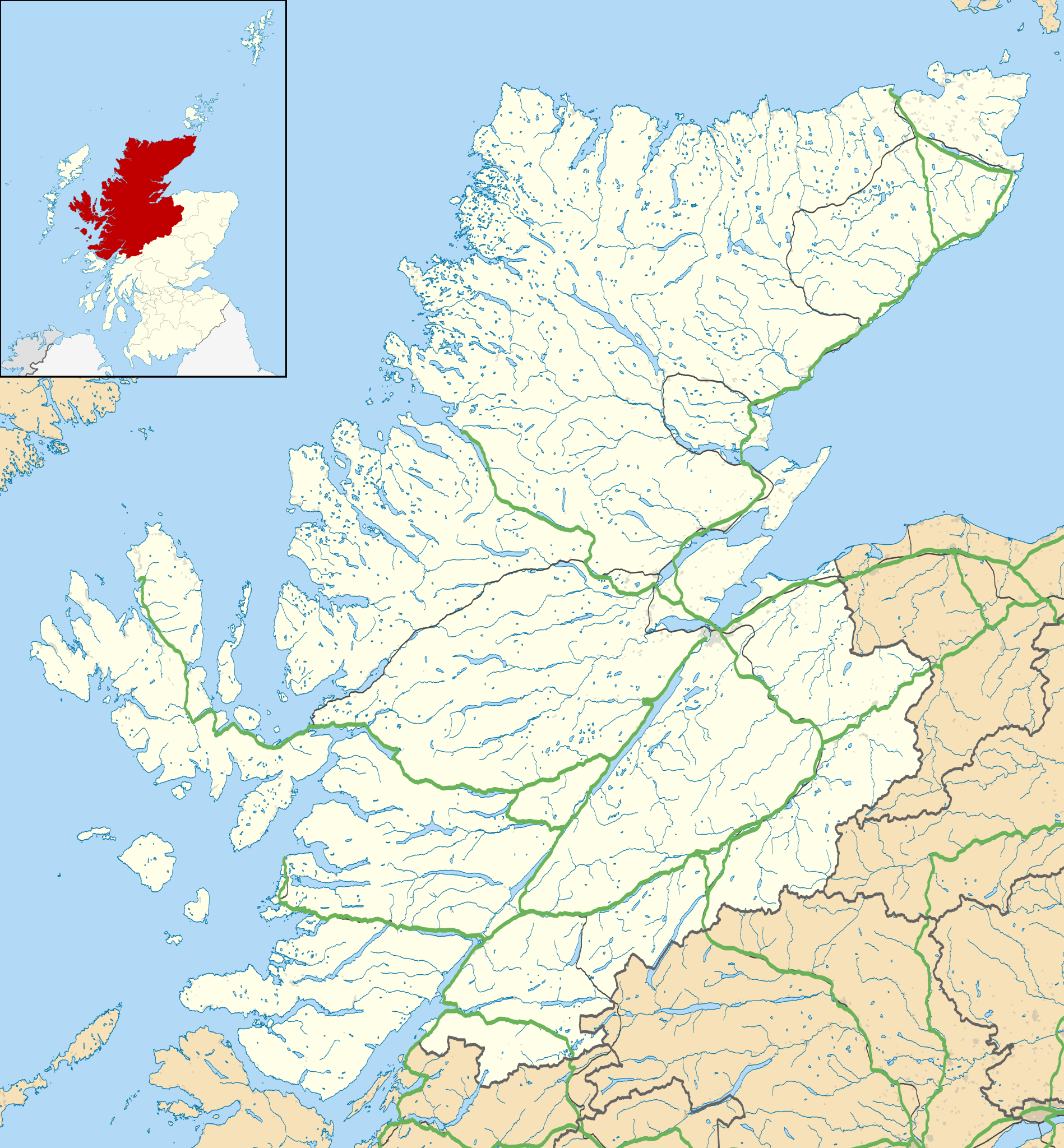
Blank map of Highland, UK with the following information shown:
Equirectangular map projection on WGS 84 datum, with N/S stretched 180% Geographic limits:
|
| 日付 | |
| 原典 |
|
| 作者 | Nilfanion, created using Ordnance Survey data |
| 許可 (ファイルの再利用) |
このファイルはクリエイティブ・コモンズ 表示-継承 3.0 非移植ライセンスのもとに利用を許諾されています。 帰属: Contains Ordnance Survey data © Crown copyright and database right
|
| その他のバージョン | File:Highland UK blank map.svg - Blank map |
ファイルの履歴
過去の版のファイルを表示するには、その版の日時をクリックしてください。
| 日付と時刻 | サムネイル | 寸法 | 利用者 | コメント | |
|---|---|---|---|---|---|
| 現在の版 | 2010年9月26日 (日) 20:20 | | 1,320 × 1,424 (5.26メガバイト) | Nilfanion (トーク | 投稿記録) | {{Information |Description=Blank map of Highland, UK with the following information shown: *Administrative borders *Coastline, lakes and rivers *Roads and railways *Urban areas Equirectangular map projection on WGS 84 datum, |
このファイルは上書きできません。
ファイルの使用状況
以下のページがこのファイルを使用しています:
グローバルなファイル使用状況
以下に挙げる他のウィキがこの画像を使っています:
- ar.wikipedia.org での使用状況
- arz.wikipedia.org での使用状況
- ba.wikipedia.org での使用状況
- bg.wikipedia.org での使用状況
- ceb.wikipedia.org での使用状況
- de.wikipedia.org での使用状況
- Kernkraftwerk Dounreay
- Skye Bridge
- Caledonian Stadium
- Neist Point
- Victoria Park (Dingwall)
- Loch Eriboll
- Tarbat Ness Lighthouse
- Ardnamurchan Lighthouse
- Sandwood Bay
- Vorlage:Positionskarte Schottland Highland
- Flughafen Inverness
- Culloden Viaduct
- Fearn Airfield
- Bone Caves
- Wick Airport
- Flugplatz Broadford
- Flugplatz Plockton
- Affric-Beauly-Kraftwerke
- Cromarty Lighthouse
- Leuchtturm Dunnet Head
- Telford Street Park
- Chanonry Lighthouse
- Noss Head Lighthouse
- Cape Wrath Lighthouse
- en.wikipedia.org での使用状況
このファイルのグローバル使用状況を表示する。