File:Historical map series for the area of az-Zakariyya (1940s).jpg
Original file (737 × 741 pixels, file size: 338 KB, MIME type: image/jpeg)
Captions
Captions
Summary[edit]
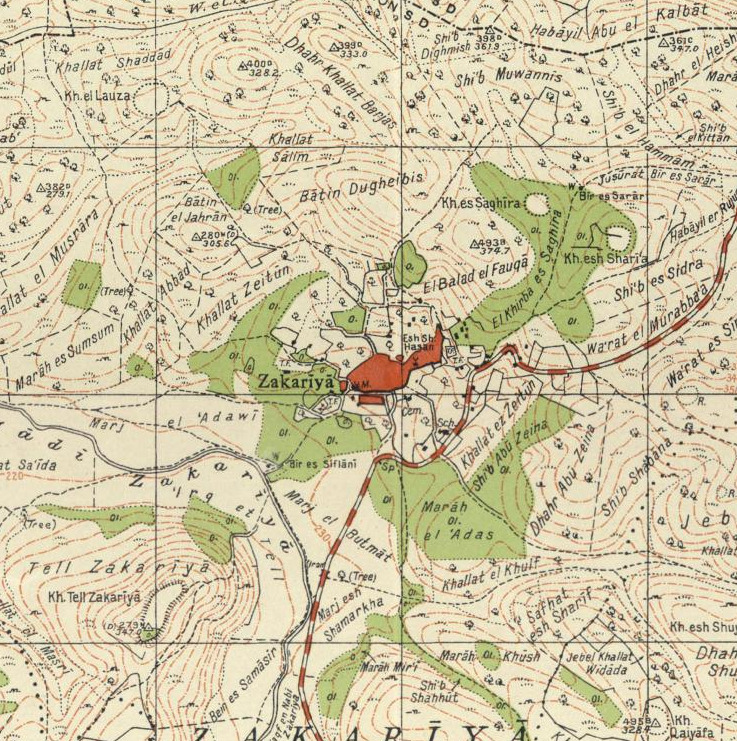
| Description | A 1940s map of the region of az-Zakariyya, Palestine |
| Date | |
| Source | National Library of Israel |
| Author | Survey of Palestine |
This work created by the United Kingdom Government is in the public domain.
This is because it is one of the following:
HMSO has declared that the expiry of Crown Copyrights applies worldwide (ref: HMSO Email Reply)
|
 |
File history
Click on a date/time to view the file as it appeared at that time.
| Date/Time | Thumbnail | Dimensions | User | Comment | |
|---|---|---|---|---|---|
| current | 14:00, 28 August 2022 | | 737 × 741 (338 KB) | Zero0000 (talk | contribs) | {{Information |Description=A 1940s map of the region of az-Zakariyya, Palestine |Source=National Library of Israel |Date=1942 |Author=Survey of Palestine |Permission= |other_versions= }} {{PD-UKGov}} |
You cannot overwrite this file.
File usage on Commons
The following 3 pages use this file:
Metadata
This file contains additional information such as Exif metadata which may have been added by the digital camera, scanner, or software program used to create or digitize it. If the file has been modified from its original state, some details such as the timestamp may not fully reflect those of the original file. The timestamp is only as accurate as the clock in the camera, and it may be completely wrong.
| Image title |
| ||
|---|---|---|---|
| Latitude | 31° 42′ 33″ N | ||
| Longitude | 34° 56′ 42″ E | ||
| Horizontal resolution | 1 dpc | ||
| Vertical resolution | 1 dpc | ||
| Y and C positioning | Centered | ||
| GPS tag version | 2.3.0.0 |
.jpg)
.jpg)
.jpg)
.jpg&action=edit§ion=1)
.jpg&oldid=685901290)