File:Hog Island 1779 map.jpg
Jump to navigation
Jump to search
Size of this preview: 800 × 351 pixels. Other resolutions: 320 × 140 pixels | 640 × 281 pixels | 1,024 × 449 pixels | 1,280 × 561 pixels | 2,752 × 1,207 pixels.
Original file (2,752 × 1,207 pixels, file size: 256 KB, MIME type: image/jpeg)
Captions
Captions
Add a one-line explanation of what this file represents
Summary
[edit]
| Description |
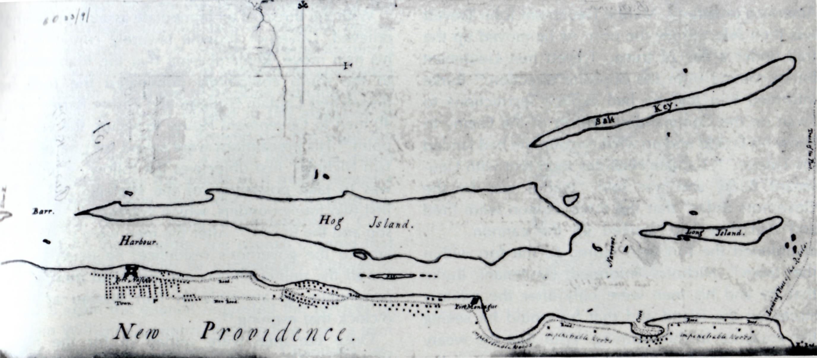
English: map of Nassau, capital of the Bahamas, and Hog Island (today Paradise Island) |
| Date | |
| Source | http://www.awiatsea.com/Narrative/New%20Providence%20Expedition.html http://www.awiatsea.com/images/NPE76/Manuscript%20map.jpg |
| Author | Unknown author |
Licensing
[edit]
|
This work is in the public domain in its country of origin and other countries and areas where the copyright term is the author's life plus 100 years or fewer. | |
| This file has been identified as being free of known restrictions under copyright law, including all related and neighboring rights. | |
File history
Click on a date/time to view the file as it appeared at that time.
| Date/Time | Thumbnail | Dimensions | User | Comment | |
|---|---|---|---|---|---|
| current | 18:25, 17 November 2013 | | 2,752 × 1,207 (256 KB) | Ratzer (talk | contribs) | {{Information |Description ={{en|1=map of Nassau, capital of the Bahamas, and Hog Island (today Paradise Island)}} |Source =http://www.awiatsea.com/images/NPE76/Manuscript%20map.jpg |Author =unknown |Date =1779 |Permission ... |
You cannot overwrite this file.
File usage on Commons
There are no pages that use this file.