File:Hoisington and Great Bend, Kansas (14496990774).jpg
Original file (4,000 × 3,000 pixels, file size: 9.64 MB, MIME type: image/jpeg)
Captions
Captions
Summary
[edit].jpg&action=edit§ion=1)
| Description |
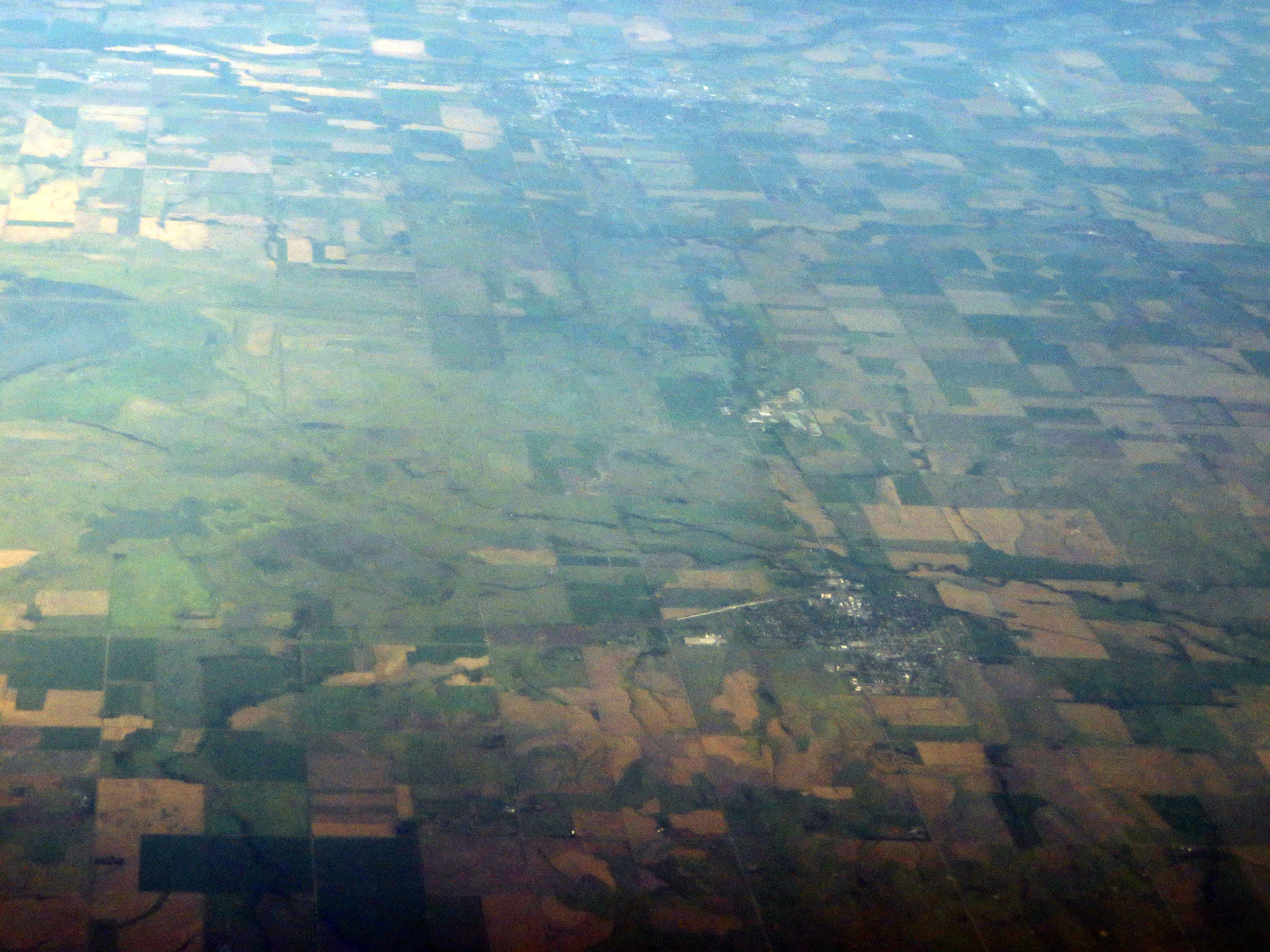
Great Bend is a city in and the county seat of Barton County, Kansas, United States. It is named for its location at the point where the course of the Arkansas River bends east then southeast. As of the 2010 census, the population of the city was 15,995. Prior to American settlement of the area, the site of Great Bend was located in the northern reaches of Kiowa territory. Claimed first by France as part of Louisiana and later acquired by the United States with the Louisiana Purchase in 1803, it laid within the area organized by the U.S. as Kansas Territory in 1854. Kansas became a state in 1861, and the state government delineated the surrounding area as Barton County in 1867. The first settlers of the area arrived in 1870. Living in sod houses and dugouts, they worked as buffalo hunters since trampling by bison herds precluded crop farming. In 1871, the Great Bend Town Company, anticipating the westward construction of the Atchison, Topeka and Santa Fe Railroad, founded Great Bend at a site roughly three miles west of Fort Zarah on the Santa Fe Trail. They named the settlement after its location at the "great bend" in the Arkansas River where the river’s course turns eastward. The town began to grow as more settlers arrived over the following year and opened several businesses. The railroad reached Great Bend in July 1872, and an election at about the same time declared the town the permanent county seat. Great Bend was incorporated as a city soon thereafter. The county courthouse and the city’s first public school were built the following year. In 1873, following the arrival of the railroad, Great Bend became a shipping point for cattle. This stimulated local business but also transformed the city into a rowdy, violent cowtown. In 1876, the Kansas Legislature extended the legal "dead line" restricting the presence of Texas cattle 30 miles west of Barton County. The cattle trade moved westward accordingly, and the city became more peaceful. Over the following decades, Great Bend continued to grow and modernize, becoming a center of area commerce. In 1886, local speculators began to fund exploration for petroleum in the area. By 1930, the oil and gas industry brought more than $20 million annually to the county. More than 3,000 wells produced during the 1930s, and the influx of workers dramatically increased the city’s population. The U.S. Army Air Forces opened Great Bend Army Airfield west of the city in 1943. The base served as training facility for B-29 bomber aircraft personnel during World War II. After the war, the City of Great Bend acquired the base and repurposed it for civilian use as Great Bend Municipal Airport. The city continued to grow through the 1950s, its population peaking at almost 17,000 in 1960. In 1973, the Fuller Brush Company relocated its production facilities to Great Bend, becoming one of the city’s major employers. Despite a modest decline in population in recent decades, Great Bend continues to serve as a commercial center for central Kansas. Agriculture is the predominant industry in Great Bend, and its grain elevators are visible from miles away. The oil industry flourished from about 1930-1960. There was even an oil well in the city park. But this industry has been on the decline for years. Cattle raising is also an important source of income for many people. Great Bend Public Schools, Barton Community College, and CPI Qualified Plan Consultants are the city's three largest employers. Other major employers include local government, local hospitals, Wal-Mart, Superior Essex, and Fuller Brush Company. en.wikipedia.org/wiki/Great_Bend,_Kansas en.wikipedia.org/wiki/Wikipedia:Text_of_Creative_Commons_... |
| Date | |
| Source | Hoisington and Great Bend, Kansas |
| Author | Ken Lund from Reno, Nevada, USA |
| Camera location | | View this and other nearby images on: OpenStreetMap |
|---|
.jpg¶ms=038.521586_N_-098.778204_E_globe:Earth_type:camera_source:Flickr_&language=en)
Licensing
[edit].jpg&action=edit§ion=2)
- You are free:
- to share – to copy, distribute and transmit the work
- to remix – to adapt the work
- Under the following conditions:
- attribution – You must give appropriate credit, provide a link to the license, and indicate if changes were made. You may do so in any reasonable manner, but not in any way that suggests the licensor endorses you or your use.
- share alike – If you remix, transform, or build upon the material, you must distribute your contributions under the same or compatible license as the original.
| This image was originally posted to Flickr by Ken Lund at https://flickr.com/photos/75683070@N00/14496990774. It was reviewed on 4 December 2015 by FlickreviewR and was confirmed to be licensed under the terms of the cc-by-sa-2.0. |
File history
Click on a date/time to view the file as it appeared at that time.
| Date/Time | Thumbnail | Dimensions | User | Comment | |
|---|---|---|---|---|---|
| current | 03:53, 4 December 2015 | | 4,000 × 3,000 (9.64 MB) | INeverCry (talk | contribs) | Transferred from Flickr via Flickr2Commons |
You cannot overwrite this file.
File usage on Commons
There are no pages that use this file.
.jpg&oldid=883638543)