File:Hotel Place d'Armes, Place d'Armes, Montreal, Quebec (29440702273).jpg

Original file (4,000 × 3,000 pixels, file size: 9.35 MB, MIME type: image/jpeg)
Captions
Captions
Summary
[edit].jpg&action=edit§ion=1)
| Description |
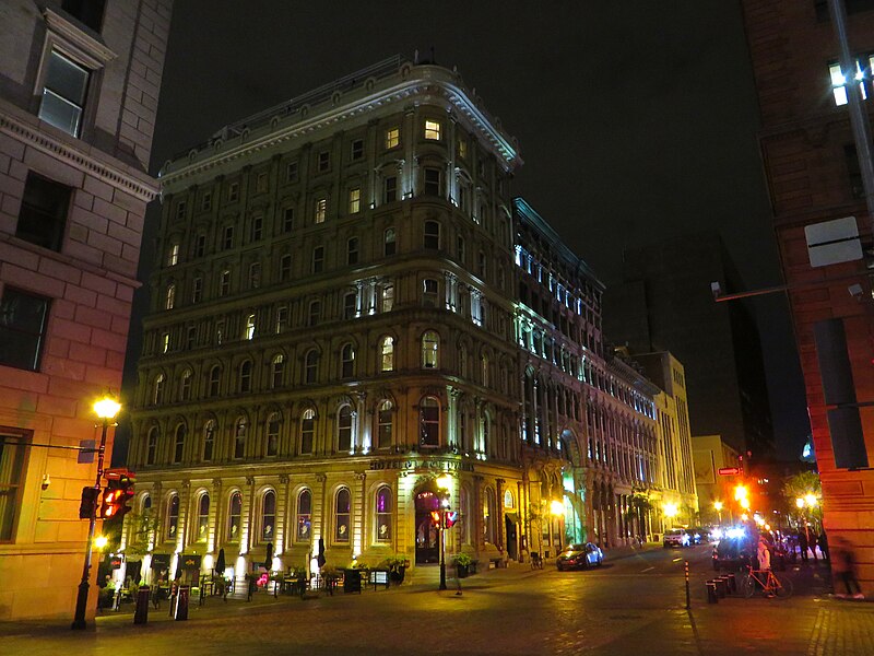
Place d'Armes is a square in Old Montreal quarter of Montreal, in Quebec, Canada. In the centre, there is a monument in memory of Paul de Chomedey, founder of Montreal. Buildings that surround it include Notre-Dame Basilica, Saint-Sulpice Seminary, New York Life Building, Aldred Building, Bank of Montreal head office and 500 Place D'Armes. Place d'Armes is the second oldest public site in Montreal. It was called Place de la Fabrique when it was first developed in 1693, at the request of the Sulpicians, then later renamed Place d'Armes in 1721 when it became the stage of various military events. From 1781 to 1813, it was used as a hay and wood market, then developed as a Victorian garden after it was acquired by the city in 1836. The current dimensions of Place d’Armes correspond roughly to a plan begun in 1845 and completed in 1850, when Notre-Dame Street was completed. It was not until the demolition of the Notre-Dame Church in 1830, and its bell tower in 1843, that the square would assume its current size. <a href="https://en.wikipedia.org/wiki/Place_d%27Armes" rel="noreferrer nofollow">en.wikipedia.org/wiki/Place_d%27Armes</a> <a href="https://en.wikipedia.org/wiki/Wikipedia:Text_of_Creative_Commons_Attribution-ShareAlike_3.0_Unported_License" rel="noreferrer nofollow">en.wikipedia.org/wiki/Wikipedia:Text_of_Creative_Commons_...</a> |
| Date | |
| Source | Hotel Place d'Armes, Place d'Armes, Montreal, Quebec |
| Author | Ken Lund from Reno, Nevada, USA |
| Camera location | | View this and other nearby images on: OpenStreetMap |
|---|
.jpg¶ms=045.504911_N_-073.557537_E_globe:Earth_type:camera_source:Flickr_&language=en)
Licensing
[edit].jpg&action=edit§ion=2)
- You are free:
- to share – to copy, distribute and transmit the work
- to remix – to adapt the work
- Under the following conditions:
- attribution – You must give appropriate credit, provide a link to the license, and indicate if changes were made. You may do so in any reasonable manner, but not in any way that suggests the licensor endorses you or your use.
- share alike – If you remix, transform, or build upon the material, you must distribute your contributions under the same or compatible license as the original.
| This image was originally posted to Flickr by Ken Lund at https://flickr.com/photos/75683070@N00/29440702273. It was reviewed on 20 March 2024 by FlickreviewR 2 and was confirmed to be licensed under the terms of the cc-by-sa-2.0. |
File history
Click on a date/time to view the file as it appeared at that time.
| Date/Time | Thumbnail | Dimensions | User | Comment | |
|---|---|---|---|---|---|
| current | 22:16, 20 March 2024 | | 4,000 × 3,000 (9.35 MB) | Fabe56 (talk | contribs) | Transferred from Flickr via #flickr2commons |
You cannot overwrite this file.
File usage on Commons
There are no pages that use this file.
.jpg&oldid=862629058)