File:Ice Formations Along the Pictured Rocks Escarpment off Sand Point Road. They form every winter. (3b479da7-d18b-4aea-b807-f8f8bca54ffd).JPG
Jump to navigation
Jump to search
Size of this preview: 800 × 533 pixels. Other resolutions: 320 × 213 pixels | 640 × 427 pixels | 1,024 × 683 pixels | 1,280 × 853 pixels | 2,560 × 1,707 pixels | 5,472 × 3,648 pixels.
Original file (5,472 × 3,648 pixels, file size: 11.29 MB, MIME type: image/jpeg)
Captions
Captions
Add a one-line explanation of what this file represents

|
The categories of this image need checking. You can do so here.
|
.JPG&action=edit&withJS=MediaWiki:Catcheck.js)
Summary
[edit].JPG&action=edit§ion=1)
| English: Ice Formations Along the Pictured Rocks Escarpment off Sand Point Road. They form every winter. | ||||
|---|---|---|---|---|
| Photographer |
English: NPS |
|||
| Title |
English: Ice Formations Along the Pictured Rocks Escarpment off Sand Point Road. They form every winter. |
|||
| Description |
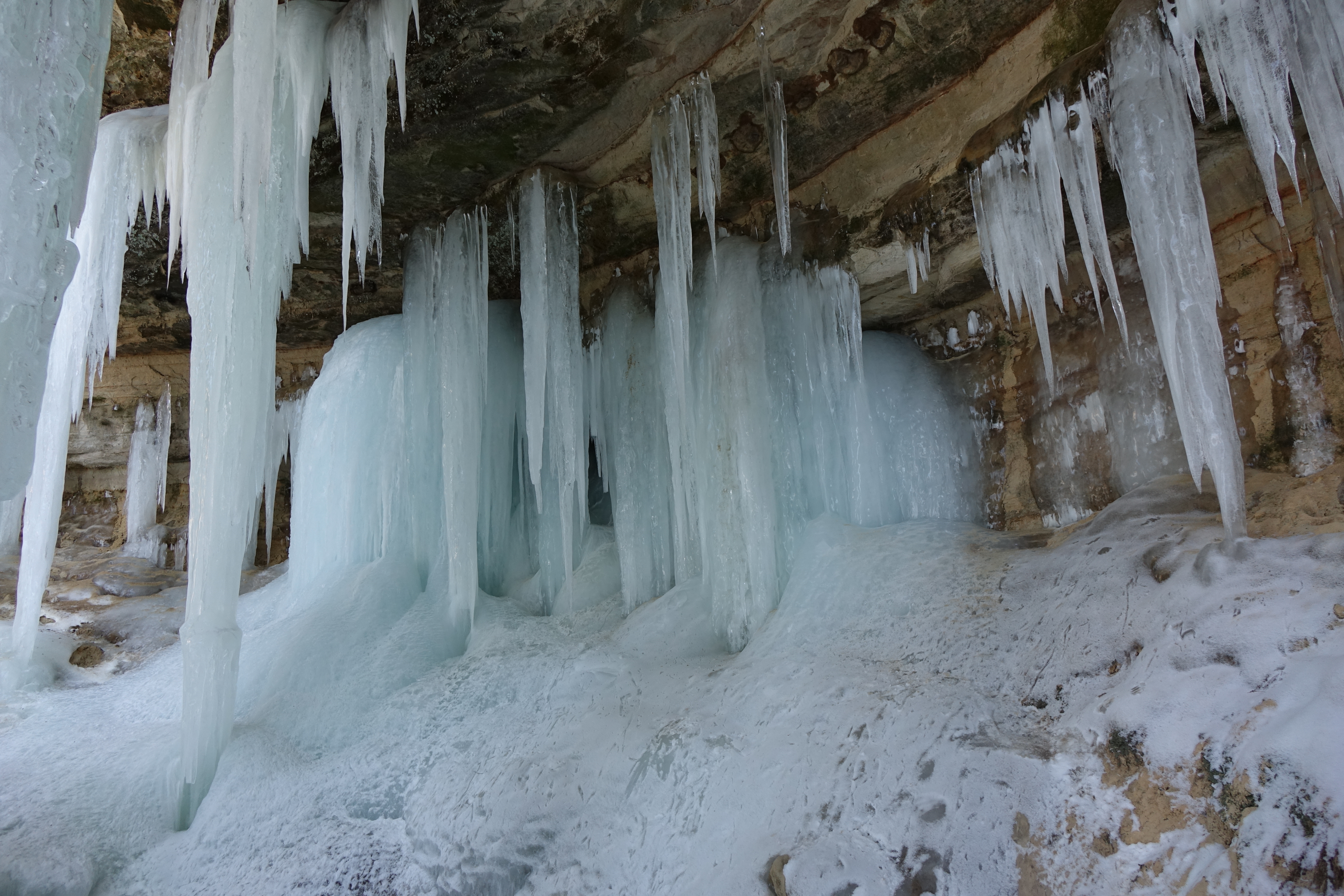
English: Ice Formations forming from seeping water coming through the overhead sandstone rocks. The ice forms icicles, columns, curtains, and shields. Ice Formations along the Pictured Rocks Escarpment off Sand Point Road.
|
|||
| Depicted place |
English: Pictured Rocks National Lakeshore, Alger County, Michigan |
|||
| Date | Taken on 14 February 2018 | |||
| Accession number | ||||
| Source |
English: NPGallery |
|||
| Permission (Reusing this file) |
|
|||
| NPS Unit Code | PIRO | |||
File history
Click on a date/time to view the file as it appeared at that time.
| Date/Time | Thumbnail | Dimensions | User | Comment | |
|---|---|---|---|---|---|
| current | 03:54, 14 January 2022 | | 5,472 × 3,648 (11.29 MB) | BMacZeroBot (talk | contribs) | Batch upload (Commons:Batch uploading/NPGallery) |
You cannot overwrite this file.
File usage on Commons
The following page uses this file:
.JPG)
.JPG&oldid=669248480)