File:Illustrated historical atlas of Cooper County, Missouri - compiled and published from official records and personal examination LOC 2007626792-1.jpg
Jump to navigation
Jump to search

Size of this preview: 474 × 600 pixels. Other resolutions: 190 × 240 pixels | 379 × 480 pixels | 607 × 768 pixels | 809 × 1,024 pixels | 2,165 × 2,739 pixels.
Original file (2,165 × 2,739 pixels, file size: 1.26 MB, MIME type: image/jpeg)
Captions
Captions
Add a one-line explanation of what this file represents
Summary
[edit]| Description |
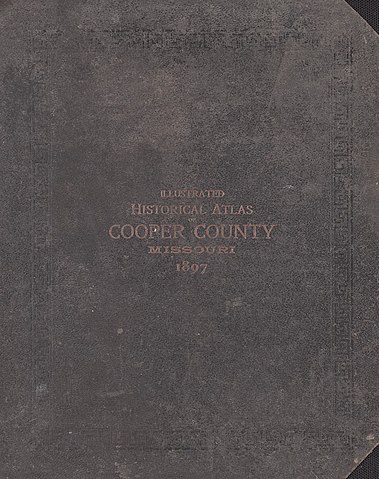
English: LeGear. Atlases of the United States, 5221 Available also through the Library of Congress Web site as a raster image. Includes index, advertisements, brief history of Cooper County, and brief biographies and portraits of early Cooper County residents. Annotations in blue ink on some maps. LC copy imperfect: Front board and back board separated from binding. Vendor: John Carbonell (eBay auction) Acquisitions control no. 2006-111 |
||
| Title | Illustrated historical atlas of Cooper County, Missouri : compiled and published from official records and personal examination | ||
| Shelf ID | G1438.C8 C4 1897 | ||
| Parent | https://www.loc.gov/resource/g4163cm.gla00019/ | ||
| Sheet title | cover | ||
| Date | |||
| Source | https://www.loc.gov/item/2007626792/ | ||
| Author | Central Map Co.; Wangersheim, S. | ||
| Permission (Reusing this file) |
|
||
| Other versions |
|
||
| Location | United States · Cooper County · Missouri | ||
| Part of | American Memory · Catalog · County Landownership Maps · Geography And Map Division · Cultural Landscapes | ||
| Subject | Cooper County (Mo.) · Portraits · Directories · Cooper County · United States · Maps · Missouri · Real Property · Landowners · Biography · History |


Licensing
[edit]
|
This is a faithful photographic reproduction of a two-dimensional, public domain work of art. The work of art itself is in the public domain for the following reason:
The official position taken by the Wikimedia Foundation is that "faithful reproductions of two-dimensional public domain works of art are public domain".
This photographic reproduction is therefore also considered to be in the public domain in the United States. In other jurisdictions, re-use of this content may be restricted; see Reuse of PD-Art photographs for details. | ||||
File history
Click on a date/time to view the file as it appeared at that time.
| Date/Time | Thumbnail | Dimensions | User | Comment | |
|---|---|---|---|---|---|
| current | 08:39, 14 July 2018 | | 2,165 × 2,739 (1.26 MB) | Fæ (talk | contribs) | LOC Maps multisheet https://www.loc.gov/item/2007626792/ sheet 1 of 64 #35 |
You cannot overwrite this file.
File usage on Commons
The following page uses this file: