File:India West Bengal adm location map.svg

Archivo original (archivo SVG, nominalmente 1039 × 1585 píxeles, tamaño de archivo: 350 kB)
Leyendas
Leyendas
Resumen
[editar]
| Descripción |
Deutsch: Positionskarte von Westbengalen, Indien
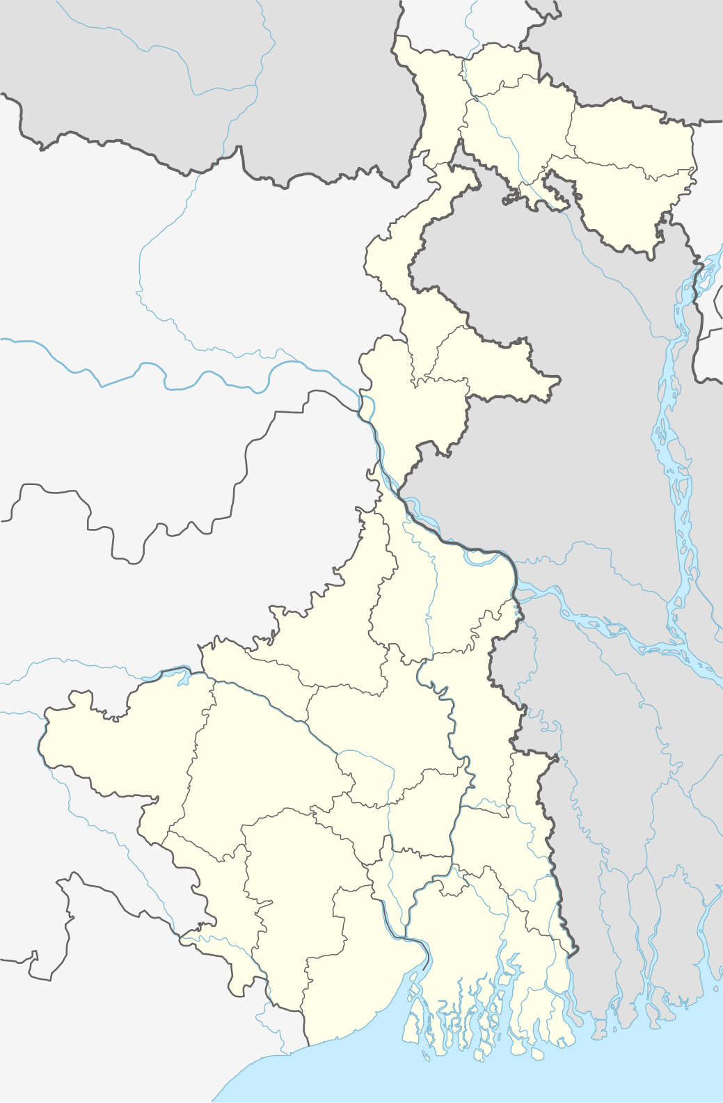
English: Location map of West Bengal, India
|
||||||||||||
| Fecha | |||||||||||||
| Fuente |
Trabajo propio utilizando:
|
||||||||||||
| Autor | NordNordWest | ||||||||||||

|
Este mapa se ha hecho o mejorado en el Kartenwerkstatt (taller cartográfico) alemán. También puede proponer mapas para mejorar.
|
Licencia
[editar]
Usage of this file with:

explanatory notes: Legally binding is only the full legalcode. For a free usage I recommend to respect the following licence conditions:
1. Provide my name as given above: NordNordWest,
2. a copy of, or the URI for, the applicable license: https://creativecommons.org/licenses/by-sa/3.0/de/legalcode,
3. the title of the work,
4. in the case of an adaptation, a credit identifying the use of the work in the adaptation.
This license and the rights granted hereunder will terminate automatically upon any breach by you of the terms of this license. Any of the above conditions can be waived if you get permission from the copyright holder. If you have questions or wish differing conditions, please contact me through nnwest or my discussion page ![]() t-online.de
t-online.de
- Eres libre:
- de compartir – de copiar, distribuir y transmitir el trabajo
- de remezclar – de adaptar el trabajo
- Bajo las siguientes condiciones:
- atribución – Debes otorgar el crédito correspondiente, proporcionar un enlace a la licencia e indicar si realizaste algún cambio. Puedes hacerlo de cualquier manera razonable pero no de manera que sugiera que el licenciante te respalda a ti o al uso que hagas del trabajo.
- compartir igual – En caso de mezclar, transformar o modificar este trabajo, deberás distribuir el trabajo resultante bajo la misma licencia o una compatible como el original.

Historial del archivo
Haz clic sobre una fecha y hora para ver el archivo tal como apareció en ese momento.
| Fecha y hora | Miniatura | Dimensiones | Usuario | Comentario | |
|---|---|---|---|---|---|
| actual | 22:42 26 abr 2020 | | 1039 × 1585 (350 kB) | C1MM (discusión | contribs.) | Reverted to version as of 08:29, 23 May 2019 (UTC) |
| 22:41 26 abr 2020 |  | 1039 × 1585 (362 kB) | C1MM (discusión | contribs.) | Changed color of rivers according to French/German location map conventions: color #0978AB | |
| 08:29 23 may 2019 |  | 1039 × 1585 (350 kB) | NordNordWest (discusión | contribs.) | upd | |
| 11:42 6 jun 2018 |  | 1039 × 1585 (335 kB) | NordNordWest (discusión | contribs.) | == {{int:filedesc}} == {{Information |description= {{de|1=Positionskarte von Westbengalen, Indien}} {{en|1=Location map of West Bengal, India}} {{Location map series N |stretching=110 |top=27.4 |bottom=21.3 |left=85.6 |right=90 }} |source={{Own using}} * United States National Imagery and Mapping Agency data * World Data Base II data |date=2018-06-06 |author={{U|NordNordWest}} |permission= |other_versions= }} {{Kartenwerkstatt}} == {{int:license-header}} == {{User:NordNordWest/LicenceMap}} ... |
No puedes sobrescribir este archivo.
Usos del archivo
Las siguientes páginas usan este archivo:
Uso global del archivo
Las wikis siguientes utilizan este archivo:
- Uso en ar.wikipedia.org
- Uso en as.wikipedia.org
- Uso en azb.wikipedia.org
- کلکته
- تونقلو, باتی بنقال
- سانکاری, باتی بنقال
- روهینی, باتی بنقال
- پانچکولا (باتی بنقال )
- کوارا, باتی بنقال
- کاشیپور, باتی بنقال
- دبیپور, باتی بنقال
- پیاسالا
- فوتیقودا
- فولکوسما
- ساتاری, مالدا
- ساتپالسا
- ساتکول
- ساتبانکورا
- سارماستر چاک
- ساریشا
- سارنقا, بانکورا
- ساربریا
- سانتوری, پورولیا
- مایورهات
- مایورسوار
- مایدا, جایناقار
- مایاهاوری
- سانکرایل, جارقرام
- سانکار پارولیا
- سانقرامپور, ماقراهات
- ماتکاتپور
- کالیناقار, جایناقار
- کالیقرام
- ماسینا, پورولیا
- کالاپاتار
- سامودراقاره
- ماساقرام
- سامتا, ایندیا
- سامسی, مالدا
- ماروادیه
- کالابریا
Ver más uso global de este archivo.