File:Isle of Wight UK location map.svg
Spring til navigation
Spring til søgning

Size of this PNG preview of this SVG file: 800 × 487 pixels. Andre opløsninger: 320 × 195 pixels | 640 × 390 pixels | 1.024 × 624 pixels | 1.280 × 780 pixels | 2.560 × 1.559 pixels | 1.425 × 868 pixels.
Oprindelig fil (SVG fil, basisstørrelse 1.425 × 868 pixels, filstørrelse: 843 KB)
Captions
Captions
Tilføj en kort forklaring på en enkelt linje om hvad filen viser
| Beskrivelse |
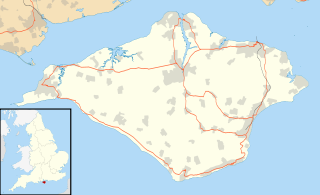
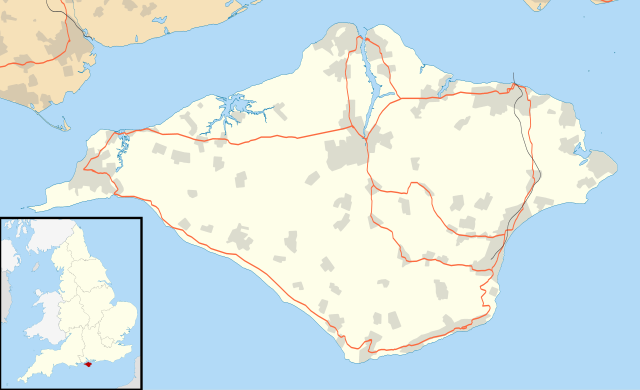
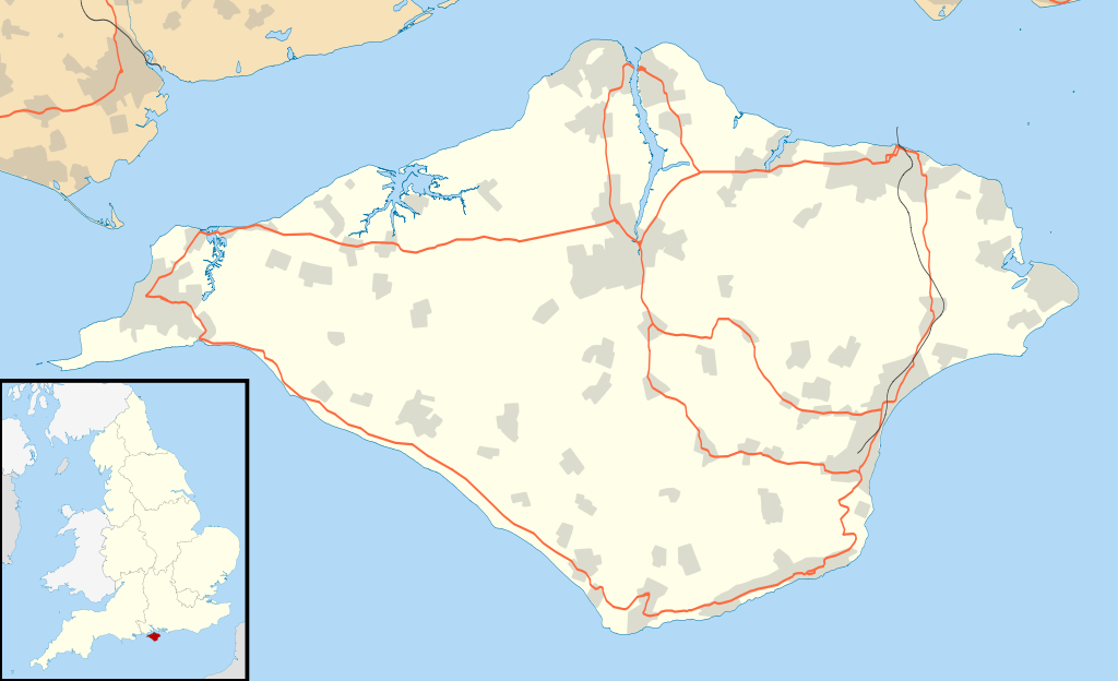
Map of the Isle of Wight, UK with the following information shown:
Equirectangular map projection on WGS 84 datum, with N/S stretched 155% Geographic limits:
|
| Dato | |
| Kilde |
|
| Forfatter | Nilfanion, created using Ordnance Survey data |
| Tilladelse (Genbrug af denne fil) |
Denne fil er udgivet under Creative Commons Kreditering-Del på samme vilkår 3.0 Ikke-porteret-licensen. Kreditering: Contains Ordnance Survey data © Crown copyright and database right
|
| Andre versioner | File:Isle of Wight UK district map (blank).svg - Blank map |
.svg)
Filhistorik
Klik på en dato/tid for at se filen som den så ud på det tidspunkt.
| Dato/tid | Miniaturebillede | Dimensioner | Bruger | Kommentar | |
|---|---|---|---|---|---|
| nuværende | 26. sep. 2010, 18:56 | | 1.425 × 868 (843 KB) | Nilfanion (diskussion | bidrag) | {{Information |Description=Map of the Isle of Wight, UK with the following information shown: *Administrative borders *Coastline, lakes and rivers *Roads and railways *Urban areas Equirectangular map projection on WGS 84 datum, with N |
Du kan ikke overskrive denne fil.
Filanvendelse
Den følgende side bruger denne fil:
Global filanvendelse
Følgende andre wikier anvender denne fil:
- Anvendelser på ar.wikipedia.org
- Anvendelser på bg.wikipedia.org
- Anvendelser på ceb.wikipedia.org
- Anvendelser på en.wikipedia.org
- Osborne House
- Carisbrooke Castle
- Sandown
- Newport, Isle of Wight
- Cowes
- Ventnor
- Yarmouth, Isle of Wight
- Ryde
- Shanklin
- Blackgang Chine
- East Cowes
- Bembridge
- Brading
- St Helens Fort
- No Man's Land Fort
- Yarmouth Castle
- Fort Albert
- Fort Victoria, Isle of Wight
- Golden Hill Fort
- St Lawrence, Isle of Wight
- The Needles Batteries
- Freshwater, Isle of Wight
- Niton
- Fishbourne, Isle of Wight
- Wootton Bridge
- Appuldurcombe House
- Wroxall, Isle of Wight
- List of places on the Isle of Wight
- Newtown, Isle of Wight
- Arreton
- Chillerton Down transmitting station
- St Helens, Isle of Wight
- Carisbrooke
- Whitwell, Isle of Wight
- Sandown Bay
- Ningwood
- Binstead
- Totland
- Shalfleet
- Cranmore, Isle of Wight
- Brook, Isle of Wight
- Blackwater, Isle of Wight
- Kingston, Isle of Wight
- Gatcombe
- Shorwell
- Newchurch, Isle of Wight
- Chale
Vis flere globale anvendelser af denne fil.