File:Isle of Wight UK location map.svg
ナビゲーションに移動
検索に移動

この SVG ファイルのこの PNG プレビューのサイズ: 800 × 487 ピクセル. その他の解像度: 320 × 195 ピクセル | 640 × 390 ピクセル | 1,024 × 624 ピクセル | 1,280 × 780 ピクセル | 2,560 × 1,559 ピクセル | 1,425 × 868 ピクセル。
元のファイル (SVG ファイル、1,425 × 868 ピクセル、ファイルサイズ: 843キロバイト)
キャプション
キャプション
このファイルの内容を1行で記述してください
| 解説 |
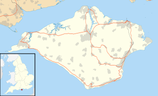
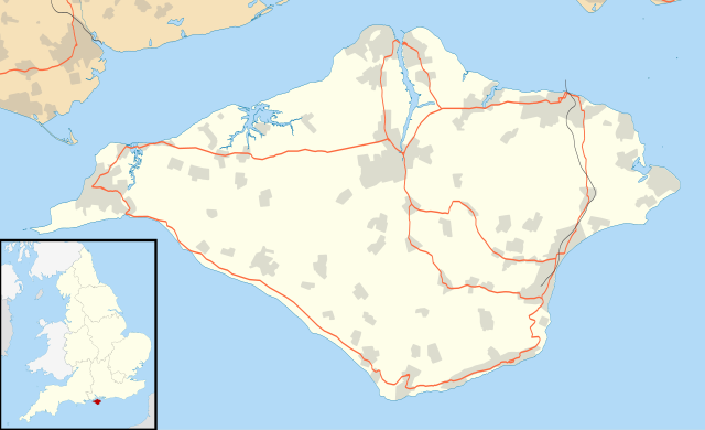
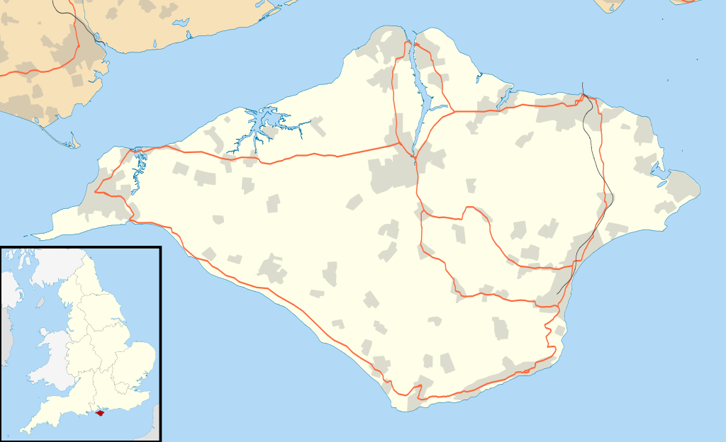
Map of the Isle of Wight, UK with the following information shown:
Equirectangular map projection on WGS 84 datum, with N/S stretched 155% Geographic limits:
|
| 日付 | |
| 原典 |
|
| 作者 | Nilfanion, created using Ordnance Survey data |
| 許可 (ファイルの再利用) |
このファイルはクリエイティブ・コモンズ 表示-継承 3.0 非移植ライセンスのもとに利用を許諾されています。 帰属: Contains Ordnance Survey data © Crown copyright and database right
|
| その他のバージョン | File:Isle of Wight UK district map (blank).svg - Blank map |
.svg)
ファイルの履歴
過去の版のファイルを表示するには、その版の日時をクリックしてください。
| 日付と時刻 | サムネイル | 寸法 | 利用者 | コメント | |
|---|---|---|---|---|---|
| 現在の版 | 2010年9月26日 (日) 18:56 | | 1,425 × 868 (843キロバイト) | Nilfanion (トーク | 投稿記録) | {{Information |Description=Map of the Isle of Wight, UK with the following information shown: *Administrative borders *Coastline, lakes and rivers *Roads and railways *Urban areas Equirectangular map projection on WGS 84 datum, with N |
このファイルは上書きできません。
ファイルの使用状況
以下のページがこのファイルを使用しています:
グローバルなファイル使用状況
以下に挙げる他のウィキがこの画像を使っています:
- ar.wikipedia.org での使用状況
- bg.wikipedia.org での使用状況
- ceb.wikipedia.org での使用状況
- en.wikipedia.org での使用状況
- Osborne House
- Carisbrooke Castle
- Sandown
- Newport, Isle of Wight
- Cowes
- Ventnor
- Yarmouth, Isle of Wight
- Ryde
- Shanklin
- Blackgang Chine
- East Cowes
- Bembridge
- Brading
- St Helens Fort
- No Man's Land Fort
- Yarmouth Castle
- Fort Albert
- Fort Victoria, Isle of Wight
- Golden Hill Fort
- St Lawrence, Isle of Wight
- The Needles Batteries
- Freshwater, Isle of Wight
- Niton
- Fishbourne, Isle of Wight
- Wootton Bridge
- Appuldurcombe House
- Wroxall, Isle of Wight
- List of places on the Isle of Wight
- Newtown, Isle of Wight
- Arreton
- Chillerton Down transmitting station
- St Helens, Isle of Wight
- Carisbrooke
- Whitwell, Isle of Wight
- Sandown Bay
- Ningwood
- Binstead
- Totland
- Shalfleet
- Cranmore, Isle of Wight
- Brook, Isle of Wight
- Blackwater, Isle of Wight
- Kingston, Isle of Wight
- Gatcombe
- Shorwell
- Newchurch, Isle of Wight
- Chale
このファイルのグローバル使用状況を表示する。