File:Isle of Wight UK location map.svg
跳至導覽
跳至搜尋

此 SVG 檔案的 PNG 預覽的大小:800 × 487 像素。 其他解析度:320 × 195 像素 | 640 × 390 像素 | 1,024 × 624 像素 | 1,280 × 780 像素 | 2,560 × 1,559 像素 | 1,425 × 868 像素。
原始檔案 (SVG 檔案,表面大小:1,425 × 868 像素,檔案大小:843 KB)
說明
說明
添加單行說明來描述出檔案所代表的內容
| 描述 |
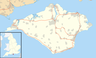
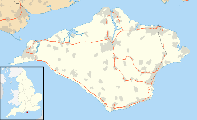
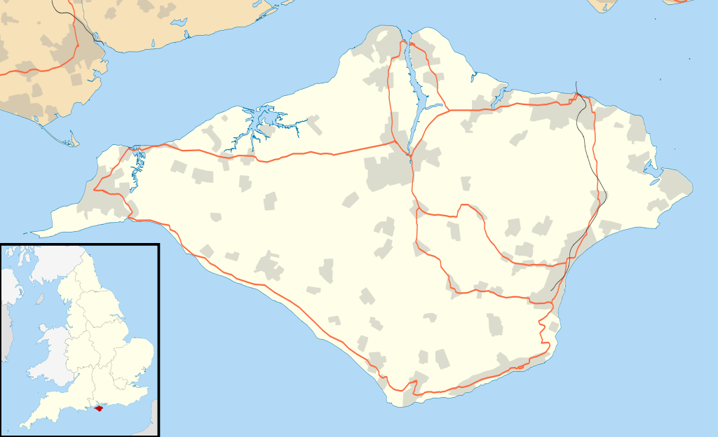
Map of the Isle of Wight, UK with the following information shown:
Equirectangular map projection on WGS 84 datum, with N/S stretched 155% Geographic limits:
|
| 日期 | |
| 來源 |
|
| 作者 | Nilfanion, created using Ordnance Survey data |
| 授權許可 (重用此檔案) |
此檔案採用創用CC 姓名標示-相同方式分享 3.0 未在地化版本授權條款。 姓名標示: Contains Ordnance Survey data © Crown copyright and database right
|
| 其他版本 | File:Isle of Wight UK district map (blank).svg - Blank map |
.svg)
檔案歷史
點選日期/時間以檢視該時間的檔案版本。
| 日期/時間 | 縮圖 | 尺寸 | 使用者 | 備註 | |
|---|---|---|---|---|---|
| 目前 | 2010年9月26日 (日) 18:56 | | 1,425 × 868(843 KB) | Nilfanion(留言 | 貢獻) | {{Information |Description=Map of the Isle of Wight, UK with the following information shown: *Administrative borders *Coastline, lakes and rivers *Roads and railways *Urban areas Equirectangular map projection on WGS 84 datum, with N |
無法覆蓋此檔案。
檔案用途
下列頁面有用到此檔案:
全域檔案使用狀況
以下其他 wiki 使用了這個檔案:
- ar.wikipedia.org 的使用狀況
- bg.wikipedia.org 的使用狀況
- ceb.wikipedia.org 的使用狀況
- en.wikipedia.org 的使用狀況
- Osborne House
- Carisbrooke Castle
- Sandown
- Newport, Isle of Wight
- Cowes
- Ventnor
- Yarmouth, Isle of Wight
- Ryde
- Shanklin
- Blackgang Chine
- East Cowes
- Bembridge
- Brading
- St Helens Fort
- No Man's Land Fort
- Yarmouth Castle
- Fort Albert
- Fort Victoria, Isle of Wight
- Golden Hill Fort
- St Lawrence, Isle of Wight
- The Needles Batteries
- Freshwater, Isle of Wight
- Niton
- Fishbourne, Isle of Wight
- Wootton Bridge
- Appuldurcombe House
- Wroxall, Isle of Wight
- List of places on the Isle of Wight
- Newtown, Isle of Wight
- Arreton
- Chillerton Down transmitting station
- St Helens, Isle of Wight
- Carisbrooke
- Whitwell, Isle of Wight
- Sandown Bay
- Ningwood
- Binstead
- Totland
- Shalfleet
- Cranmore, Isle of Wight
- Brook, Isle of Wight
- Blackwater, Isle of Wight
- Kingston, Isle of Wight
- Gatcombe
- Shorwell
- Newchurch, Isle of Wight
- Chale
檢視此檔案的更多全域使用狀況。