File:IsumskyPolk 1725.jpg
Jump to navigation
Jump to search

Size of this preview: 800 × 596 pixels. Other resolutions: 320 × 238 pixels | 640 × 477 pixels | 1,024 × 763 pixels | 1,280 × 953 pixels | 2,560 × 1,907 pixels | 7,361 × 5,482 pixels.
Original file (7,361 × 5,482 pixels, file size: 10.8 MB, MIME type: image/jpeg)
Captions
Captions
Add a one-line explanation of what this file represents
Summary[edit]
| Description |
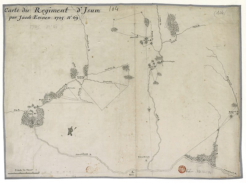
Русский: Карта земель Изюмского слободского казацкого полка, составленная в 1725 году геодезистом Яковом Есеневым |
| Date | |
| Source | http://gallica.bnf.fr/Search?ArianeWireIndex=index&p=1&lang=EN&f_typedoc=cartes&q=Cartes+manuscrites+de+la+collection+Joseph+Nicolas+Delisle+des+territoires+de+la+Russie&x=21&y=9 |
| Author | Есенев, Яков |
Licensing[edit]
|
This work is in the public domain in its country of origin and other countries and areas where the copyright term is the author's life plus 100 years or fewer. | |
| This file has been identified as being free of known restrictions under copyright law, including all related and neighboring rights. | |
Original upload log[edit]
Transferred from ru.wikipedia to Commons using For the Common Good.
The original description page was here. All following user names refer to ru.wikipedia.
| Date/Time | Dimensions | User | Comment |
|---|---|---|---|
| 06:24, 8 January 2015 | 7,361 × 5,482 (11,326,358 bytes) | w:ru:Сторожевой казак (talk | contribs) | {{Изображение | описание = Карта земель Изюмского слободского казацкого полка, составленная в 1725 году геодезистом Яковом Есеневым | ист… |
File history
Click on a date/time to view the file as it appeared at that time.
| Date/Time | Thumbnail | Dimensions | User | Comment | |
|---|---|---|---|---|---|
| current | 08:47, 24 February 2015 | | 7,361 × 5,482 (10.8 MB) | Well-Informed Optimist (talk | contribs) | Transferred from ru.wikipedia: see original upload log above |
You cannot overwrite this file.
File usage on Commons
The following page uses this file:
File usage on other wikis
The following other wikis use this file:
- Usage on ca.wikipedia.org
- Usage on en.wikipedia.org
- Usage on ru.wikipedia.org
- Usage on uk.wikipedia.org
- Usage on www.wikidata.org