File:Japan bluemarble location map with side map of the Ryukyu Islands.jpg
Salta a la navegació
Salta a la cerca
Mida d'aquesta previsualització: 664 × 600 píxels. Altres resolucions: 266 × 240 píxels | 531 × 480 píxels | 850 × 768 píxels | 1.133 × 1.024 píxels | 2.497 × 2.256 píxels.
Fitxer original (2.497 × 2.256 píxels, mida del fitxer: 1,38 Mo, tipus MIME: image/jpeg)
Llegendes
Llegendes
Afegeix una explicació d'una línia del que representa aquest fitxer
Resum
[modifica]| Descripció |
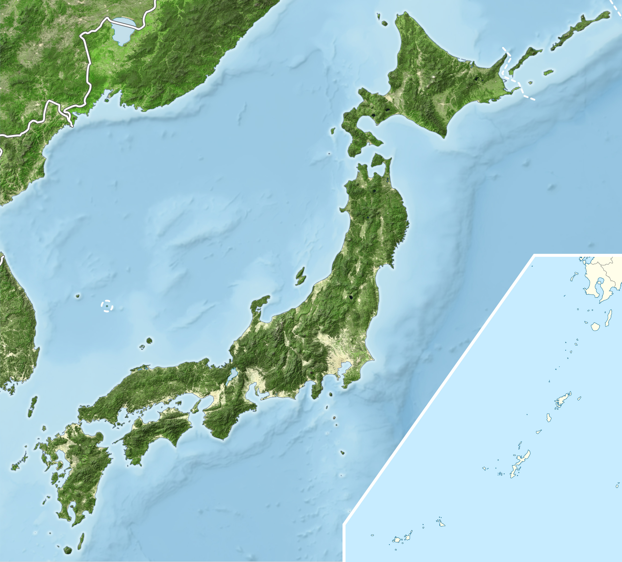
English: Blue Marble Location map of Japan
Equirectangular projection. Geographic limits to locate objects in the main map with the main islands:
Geographic limits to locate objects in the side map with the Ryukyu Islands:
|
||
| Data | |||
| Font |
|
||
| Autor | Alexrk2 | ||
| Permís (Com reutilitzar aquest fitxer) |
Aquest fitxer està subjecte a la llicència de Creative Commons Reconeixement i Compartir Igual 3.0 No adaptada.
|
||
| Altres versions |
|


Historial del fitxer
Cliqueu una data/hora per veure el fitxer tal com era aleshores.
| Data/hora | Miniatura | Dimensions | Usuari/a | Comentari | |
|---|---|---|---|---|---|
| actual | 19:55, 22 març 2011 | | 2.497 × 2.256 (1,38 Mo) | Alexrk2 (discussió | contribucions) | RGB |
| 19:07, 22 març 2011 |  | 2.497 × 2.256 (878 Ko) | Chumwa (discussió | contribucions) | RGB mode | |
| 21:57, 21 març 2011 |  | 2.497 × 2.256 (1,88 Mo) | Alexrk2 (discussió | contribucions) | jpg quality | |
| 21:05, 21 març 2011 |  | 2.497 × 2.256 (1,82 Mo) | Alexrk2 (discussió | contribucions) | == {{int:filedesc}} == {{Information |Description= {{en|Blue Marble Location map of Japan Equirectangular projection. Geographic limits to locate objects in the main map with the main islands: * N: 45°51'37" N (45.86°N) * S: 30°01'13" N |
No podeu sobreescriure aquest fitxer.
Ús del fitxer
Les 5 pàgines següents utilitzen aquest fitxer:
- User:Chumwa/Gallery
- File:Japan bluemarble location map with side map of the Ryukyu Islands.jpg
- File:Japan location map with side map of the Ryukyu Islands.svg
- File:Japan natural location map with side map of the Ryukyu Islands.jpg
- File:Japan relief location map with side map of the Ryukyu Islands.jpg
Ús global del fitxer
Utilització d'aquest fitxer en altres wikis:
- Utilització a ace.wikipedia.org
- Utilització a ar.wikipedia.org
- Utilització a arz.wikipedia.org
- Utilització a ast.wikipedia.org
- Utilització a as.wikipedia.org
- Utilització a azb.wikipedia.org
- Utilització a ban.wikipedia.org
- Utilització a bcl.wikipedia.org
- Utilització a bh.wikipedia.org
- Utilització a bn.wikipedia.org
- Utilització a br.wikipedia.org
- Utilització a bs.wikipedia.org
- Utilització a ca.wikipedia.org
- Utilització a ceb.wikipedia.org
- Utilització a ckb.wikipedia.org
- Utilització a cs.wikipedia.org
- Utilització a da.wikipedia.org
- Utilització a de.wikipedia.org
- Utilització a diq.wikipedia.org
- Utilització a dty.wikipedia.org
Vegeu més usos globals d'aquest fitxer.