File:Japan bluemarble location map with side map of the Ryukyu Islands.jpg
Aller à la navigation
Aller à la recherche
Taille de cet aperçu : 664 × 600 pixels. Autres résolutions : 266 × 240 pixels | 531 × 480 pixels | 850 × 768 pixels | 1 133 × 1 024 pixels | 2 497 × 2 256 pixels.
Fichier d’origine (2 497 × 2 256 pixels, taille du fichier : 1,38 Mio, type MIME : image/jpeg)
Légendes
Légendes
Ajoutez en une ligne la description de ce que représente ce fichier
Description[modifier]
| Description |
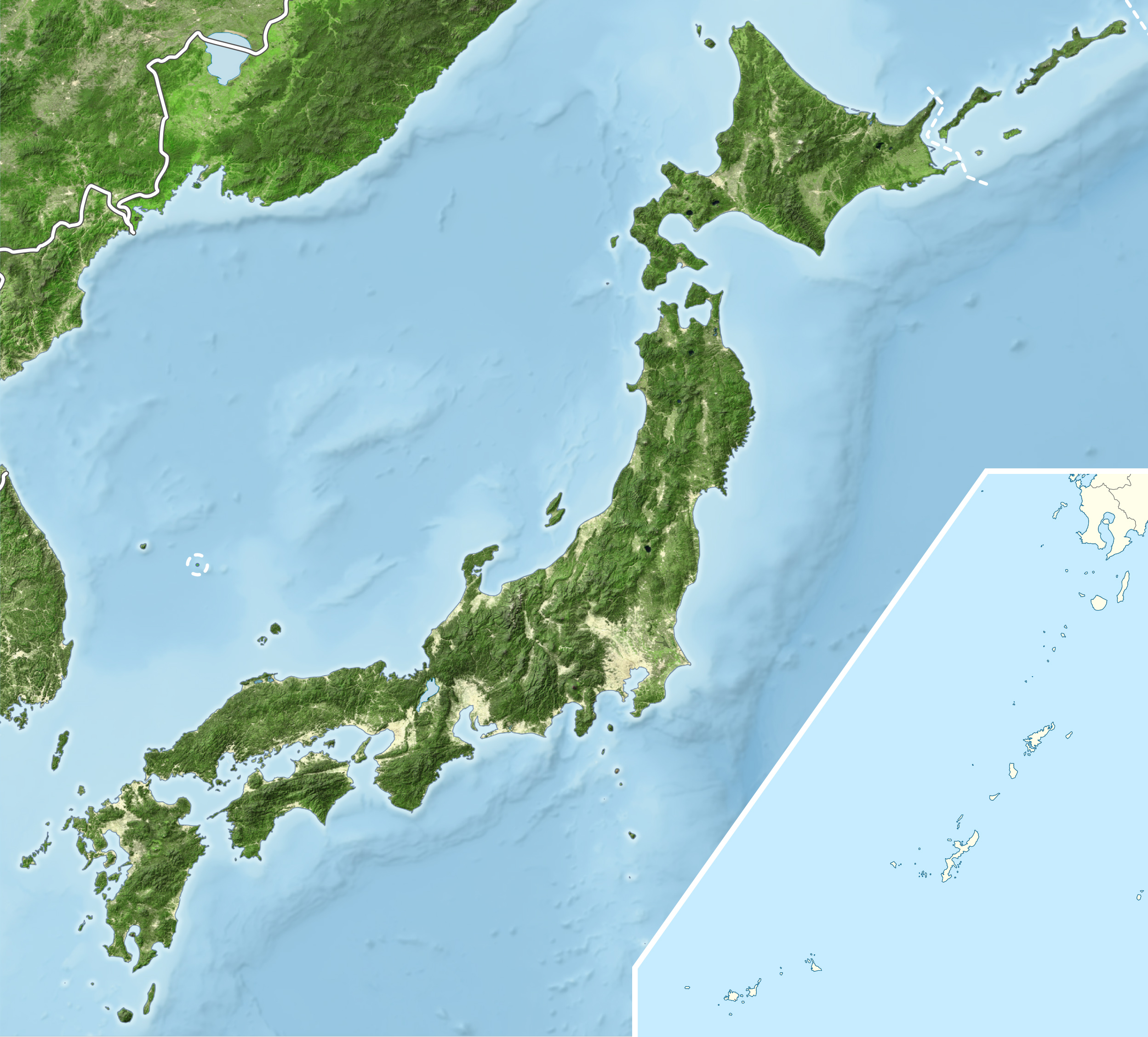
English: Blue Marble Location map of Japan
Equirectangular projection. Geographic limits to locate objects in the main map with the main islands:
Geographic limits to locate objects in the side map with the Ryukyu Islands:
|
||
| Date | |||
| Source |
|
||
| Auteur | Alexrk2 | ||
| Autorisation (Réutilisation de ce fichier) |
Ce fichier est disponible selon les termes de la licence Creative Commons Attribution – Partage dans les Mêmes Conditions 3.0 (non transposée).
|
||
| Autres versions |
|


Historique du fichier
Cliquer sur une date et heure pour voir le fichier tel qu'il était à ce moment-là.
| Date et heure | Vignette | Dimensions | Utilisateur | Commentaire | |
|---|---|---|---|---|---|
| actuel | 22 mars 2011 à 19:55 | | 2 497 × 2 256 (1,38 Mio) | Alexrk2 (d | contributions) | RGB |
| 22 mars 2011 à 19:07 |  | 2 497 × 2 256 (878 kio) | Chumwa (d | contributions) | RGB mode | |
| 21 mars 2011 à 21:57 |  | 2 497 × 2 256 (1,88 Mio) | Alexrk2 (d | contributions) | jpg quality | |
| 21 mars 2011 à 21:05 |  | 2 497 × 2 256 (1,82 Mio) | Alexrk2 (d | contributions) | == {{int:filedesc}} == {{Information |Description= {{en|Blue Marble Location map of Japan Equirectangular projection. Geographic limits to locate objects in the main map with the main islands: * N: 45°51'37" N (45.86°N) * S: 30°01'13" N |
Vous ne pouvez pas remplacer ce fichier.
Utilisations locales du fichier
Les 5 pages suivantes utilisent ce fichier :
- User:Chumwa/Gallery
- File:Japan bluemarble location map with side map of the Ryukyu Islands.jpg
- File:Japan location map with side map of the Ryukyu Islands.svg
- File:Japan natural location map with side map of the Ryukyu Islands.jpg
- File:Japan relief location map with side map of the Ryukyu Islands.jpg
Utilisations du fichier sur d’autres wikis
Les autres wikis suivants utilisent ce fichier :
- Utilisation sur ace.wikipedia.org
- Utilisation sur ar.wikipedia.org
- Utilisation sur arz.wikipedia.org
- Utilisation sur ast.wikipedia.org
- Utilisation sur as.wikipedia.org
- Utilisation sur azb.wikipedia.org
- Utilisation sur ban.wikipedia.org
- Utilisation sur bcl.wikipedia.org
- Utilisation sur bh.wikipedia.org
- Utilisation sur bn.wikipedia.org
- Utilisation sur br.wikipedia.org
- Utilisation sur bs.wikipedia.org
- Utilisation sur ca.wikipedia.org
- Utilisation sur ceb.wikipedia.org
- Utilisation sur ckb.wikipedia.org
- Utilisation sur cs.wikipedia.org
- Utilisation sur da.wikipedia.org
- Utilisation sur de.wikipedia.org
- Utilisation sur diq.wikipedia.org
- Utilisation sur dty.wikipedia.org
Voir davantage sur l’utilisation globale de ce fichier.