File:Jerome and vicinity 05-04-1939.jpg
Jump to navigation
Jump to search

Size of this preview: 759 × 600 pixels. Other resolutions: 304 × 240 pixels | 607 × 480 pixels | 972 × 768 pixels | 1,280 × 1,012 pixels | 1,885 × 1,490 pixels.
Original file (1,885 × 1,490 pixels, file size: 403 KB, MIME type: image/jpeg)
Captions
Captions
Add a one-line explanation of what this file represents
Summary
[edit]
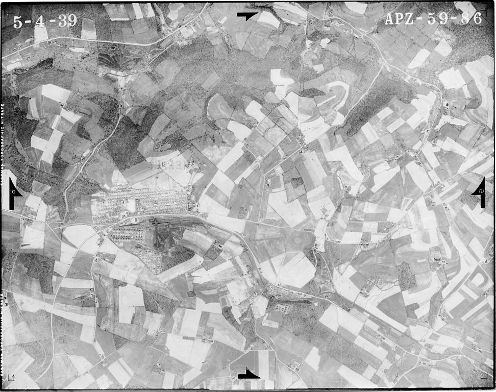
| Description | Aerial photograph of Jerome, Pennsylvania and vicinity, taken May 4, 1939. |
| Date | |
| Source | United States Department of Agriculture, Agricultural Adjustment Administration, Northeast Edition. From website "Penn Pilot: Historical Aerial Photographs of Pennsylvania" http://ceiwin1.cei.psu.edu/pennpilot/ County ID: apz Roll ID: 59 Photo: 86. |
| Author | Abram Aerial Survey Corp., Lansing, MI., Contractor |
| Permission (Reusing this file) |
U.S. Federal government photograph |
Licensing
[edit]
This image or file is a work of a United States Department of Agriculture employee, taken or made as part of that person's official duties. As a work of the U.S. federal government, the image is in the public domain.
|
 |
Original upload log
[edit]
The original description page was here. All following user names refer to en.wikipedia.
| Date/Time | Dimensions | User | Comment |
|---|---|---|---|
| 2009-02-16 17:37:50 | 1885× 1490× | Hattanguy | {{Information |Description= Aerial photograph of Jerome, Pennsylvania and vicinity, taken May 4, 1939. |Source= United States Department of Agriculture, Agricultural Adjustment Administration, Northeast Edition. From website "Penn Pilot: Historical Aeri |
File history
Click on a date/time to view the file as it appeared at that time.
| Date/Time | Thumbnail | Dimensions | User | Comment | |
|---|---|---|---|---|---|
| current | 22:56, 16 October 2016 | | 1,885 × 1,490 (403 KB) | FastilyClone (talk | contribs) | Transferred from en.wikipedia (MTC!) |
You cannot overwrite this file.
File usage on Commons
There are no pages that use this file.
File usage on other wikis
The following other wikis use this file:
- Usage on en.wikipedia.org