File:Joseph Kappen Port Talbot map.tif
Jump to navigation
Jump to search

Size of this PNG preview of this TIF file: 800 × 582 pixels. Other resolutions: 320 × 233 pixels | 640 × 466 pixels | 1,024 × 746 pixels | 1,280 × 932 pixels | 2,560 × 1,864 pixels | 3,847 × 2,801 pixels.
Original file (3,847 × 2,801 pixels, file size: 8.27 MB, MIME type: image/tiff)
Captions
Captions
Add a one-line explanation of what this file represents
Summary
[edit]| Description |
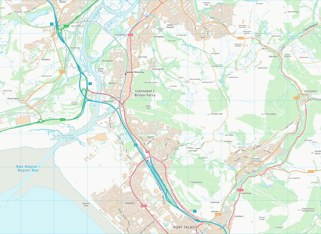
English: Map of northern Port Talbot and surrounding areas produced by Ordnance Survey. Scale indicated by 1km grid lines. OS Vector Map District available under Open Government license v. 3.0 |
| Date | |
| Source | https://osdatahub.os.uk/downloads/open/VectorMapDistrict |
| Author | Ordnance Survey |
Licensing
[edit]_(St_Edwards_Crown).svg)
|
This file is licensed under the United Kingdom Open Government Licence v3.0. |
See also: Meta for information on usage on Wikimedia wikis.
|
File history
Click on a date/time to view the file as it appeared at that time.
| Date/Time | Thumbnail | Dimensions | User | Comment | |
|---|---|---|---|---|---|
| current | 17:59, 15 May 2023 |  | 3,847 × 2,801 (8.27 MB) | Structuralists (talk | contribs) | Uploaded a work by Ordnance Survey from https://osdatahub.os.uk/downloads/open/VectorMapDistrict with UploadWizard |
You cannot overwrite this file.
File usage on Commons
There are no pages that use this file.
File usage on other wikis
The following other wikis use this file:
- Usage on en.wikipedia.org