File:Judetul Botosani 3D map.jpg
Jump to navigation
Jump to search
Size of this preview: 800 × 576 pixels. Other resolutions: 320 × 230 pixels | 640 × 460 pixels | 1,062 × 764 pixels.
Original file (1,062 × 764 pixels, file size: 532 KB, MIME type: image/jpeg)
Captions
Captions
Add a one-line explanation of what this file represents
Summary[edit]
| Description |
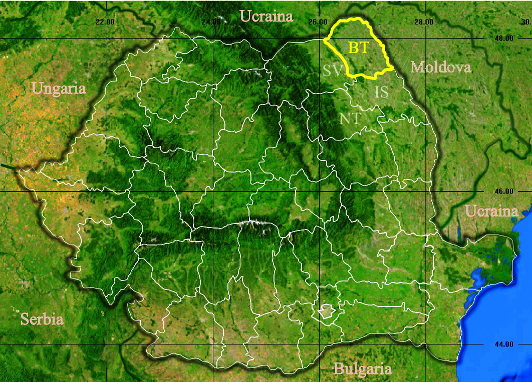
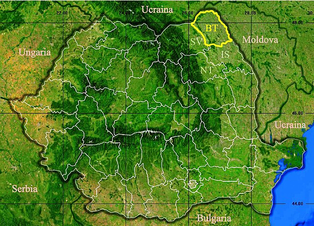
English: Location of Botoșani County in Romania. Deutsch: Lage der Kreis Botoșani in Rumänien. Română: Localizarea județului Botoșani în România. |
| Date | |
| Source |
|
| Author | Asybaris01 |
Licensing[edit]
| This image is in the public domain because it is a screenshot from NASA’s globe software World Wind using a public domain layer, such as Blue Marble, MODIS, Landsat, SRTM, USGS or GLOBE.
|
 |
File history
Click on a date/time to view the file as it appeared at that time.
| Date/Time | Thumbnail | Dimensions | User | Comment | |
|---|---|---|---|---|---|
| current | 17:29, 24 February 2020 | | 1,062 × 764 (532 KB) | Trecătorul răcit (talk | contribs) | Borders of countries |
| 18:38, 27 November 2011 |  | 1,062 × 764 (183 KB) | Asybaris01 (talk | contribs) | {{Information |Description ={{ro|1=Judetul Botosani 3D map.}} |Source =Topographic data SRTM from NASA and World Imagery - NASA World Wind & 3Dem & Inkscape |Author =Asybaris01 |Date =nov 2011 |Permission |
You cannot overwrite this file.
File usage on Commons
The following page uses this file:
File usage on other wikis
The following other wikis use this file:
- Usage on ro.wikipedia.org