File:Junction of Highway 407 with Kings Highway 407, Hornby, Ontario (21653107119).jpg
Original file (3,215 × 1,960 pixels, file size: 3.41 MB, MIME type: image/jpeg)
Captions
Captions
Summary[edit]
.jpg&action=edit§ion=1)
| Description |
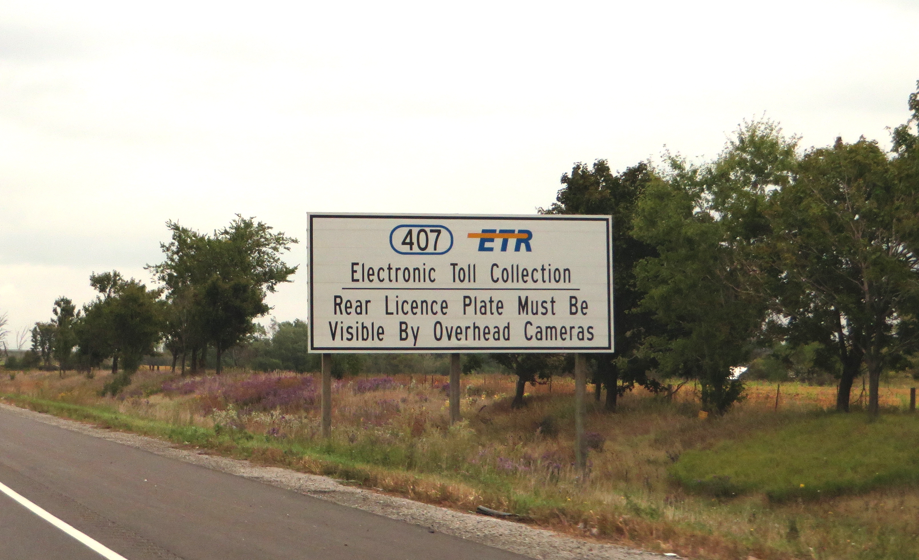
Highway 407 (pronounced "four-oh-seven") is a tolled 400-series highway in the Canadian province of Ontario. Comprising a privately-leased segment as well as a publicly-owned segment, the route begins in Burlington and travels through the Greater Toronto Area (GTA) suburbs of Oakville, Mississauga, Brampton, Vaughan, Markham, Pickering and Whitby before ending in Oshawa. The segment between Burlington and Brougham in Pickering is leased to and operated by the 407 ETR Concession Company Limited and is officially known as the 407 Express Toll Route (407 ETR). It begins at the junction of the Queen Elizabeth Way (QEW) and Highway 403 in Burlington, and travels 107.9 km (67.0 mi) across the Greater Toronto Area (GTA) to Brock Road in Pickering. East of Brock Road, the freeway continues east as Highway 407 East (a provincially-owned toll route) for 21.2 km (13.2 mi) to Harmony Road in Oshawa. Highway 407 is the first electronically-operated toll highway opened in the world; there are no toll booths along the length of the route. Distances are calculated automatically using transponders or licence plates, which are scanned at entrance and exit points. Major interchanges along the route include the QEW, Highway 403, Highway 401, Highway 410, Highway 427, Highway 400, Highway 404, and Highway 412. Highway 407 was planned in the late 1950s as a freeway bypassing the Toronto segment of Highway 401, the busiest highway in the world. However, construction did not begin until 1987. During the early 1990s, the provincial government proposed tolling the highway to alleviate a revenue shortfall. The central sections of Highway 407 opened 1997. The remaining sections were built quickly over the following four years, with the final segment of opening in mid-2001. Despite being included in the 400-series network, the Highway 407ETR section is not considered part of the provincial highway network due to it now being privately operated. The route is operated privately under a 99-year lease agreement with the provincial government. The lease was sold in 1998 for approximately C$3.1 billion to a consortium of Canadian and Spanish investors operating under the name 407 International Inc. The privatization of the Highway 407 ETR section has been the source of significant criticism, especially regarding the increases in tolls, plate denial, and false charges. In addition, the safety of segments constructed following the sale of the freeway has been called into question. Many have come to regard Highway 407 ETR as a luxury, as opposed to the bypass of Highway 401 it was originally conceived to be. A 42-kilometre (26 mi) provincially owned and tolled extension to the route, known as Highway 407 East (407E), is currently under construction through Pickering, Whitby, Oshawa, and Clarington. It opened to Harmony Road in Oshawa on June 20, 2016, including a tolled north–south link to Highway 401 known as Highway 412. A further extension will push the highway east to Highway 35 / Highway 115 in Clarington by 2020, with a second link to Highway 401 known as Highway 418. en.wikipedia.org/wiki/Ontario_Highway_407 en.wikipedia.org/wiki/Wikipedia:Text_of_Creative_Commons_... |
| Date | |
| Source | Junction of Highway 407 with Kings Highway 407, Hornby, Ontario |
| Author | Ken Lund from Reno, Nevada, USA |
| Camera location | | View this and other nearby images on: OpenStreetMap |
|---|
.jpg¶ms=043.576263_N_-079.823591_E_globe:Earth_type:camera_source:Flickr_&language=en)
Licensing[edit]
.jpg&action=edit§ion=2)
- You are free:
- to share – to copy, distribute and transmit the work
- to remix – to adapt the work
- Under the following conditions:
- attribution – You must give appropriate credit, provide a link to the license, and indicate if changes were made. You may do so in any reasonable manner, but not in any way that suggests the licensor endorses you or your use.
- share alike – If you remix, transform, or build upon the material, you must distribute your contributions under the same or compatible license as the original.
| This image was originally posted to Flickr by Ken Lund at https://flickr.com/photos/75683070@N00/21653107119. It was reviewed on 19 December 2016 by FlickreviewR and was confirmed to be licensed under the terms of the cc-by-sa-2.0. |
File history
Click on a date/time to view the file as it appeared at that time.
| Date/Time | Thumbnail | Dimensions | User | Comment | |
|---|---|---|---|---|---|
| current | 15:30, 19 December 2016 | | 3,215 × 1,960 (3.41 MB) | Mindmatrix (talk | contribs) | Transferred from Flickr via Flickr2Commons |
You cannot overwrite this file.
File usage on Commons
The following 3 pages use this file:
.jpg&oldid=641608743)