File:Kanton Appenzell Innerrhoden Detail.png
Jump to navigation
Jump to search

Size of this preview: 455 × 599 pixels. Other resolutions: 182 × 240 pixels | 364 × 480 pixels | 583 × 768 pixels | 777 × 1,024 pixels | 1,431 × 1,885 pixels.
Original file (1,431 × 1,885 pixels, file size: 2.09 MB, MIME type: image/png)
Captions
Captions
Add a one-line explanation of what this file represents
| Description |
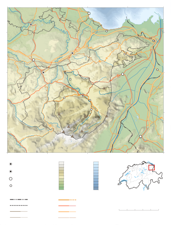
Deutsch: Karte des Kanton Appenzell Innerrhoden ohne Beschriftung.
Topographischer Hintergrund: NASA Shuttle Radar Topography Mission (public domain). SRTM3 v.2. |
||||||||
| Date | |||||||||
| Source | Own work | ||||||||
| Author | Tschubby | ||||||||
| Permission (Reusing this file) |
I, the copyright holder of this work, hereby publish it under the following licenses:
This file is licensed under the Creative Commons Attribution-Share Alike 2.5 Generic, 2.0 Generic and 1.0 Generic license.
You may select the license of your choice. |
||||||||
| Other versions |
|


File history
Click on a date/time to view the file as it appeared at that time.
| Date/Time | Thumbnail | Dimensions | User | Comment | |
|---|---|---|---|---|---|
| current | 15:44, 23 May 2008 | | 1,431 × 1,885 (2.09 MB) | Tschubby (talk | contribs) | {{Information |Description= |Source=eigene Arbeit |Date= |Author= Tschubby |Permission= |other_versions= }} |
| 17:23, 22 May 2008 |  | 1,432 × 1,886 (2.09 MB) | Tschubby (talk | contribs) | {{Information |Description= |Source=eigene Arbeit |Date= |Author= Tschubby |Permission= |other_versions= }} | |
| 20:39, 19 May 2008 |  | 1,430 × 1,883 (2.09 MB) | Tschubby (talk | contribs) | {{Information |Description= {{de| Karte des Kanton Appenzell Innerrhoden ohne Beschriftung.}} Topographischer Hintergrund: [http://www2.jpl.nasa.gov/srtm NASA Shuttle Radar Topography Mission] (public domain). SRTM3 v. |
You cannot overwrite this file.
File usage on Commons
The following 2 pages use this file: