File:Karlova Ves RA CZ.png
Jump to navigation
Jump to search
Size of this preview: 628 × 600 pixels. Other resolutions: 251 × 240 pixels | 503 × 480 pixels | 890 × 850 pixels.
Original file (890 × 850 pixels, file size: 52 KB, MIME type: image/png)
Captions
Captions
Add a one-line explanation of what this file represents
| Description |
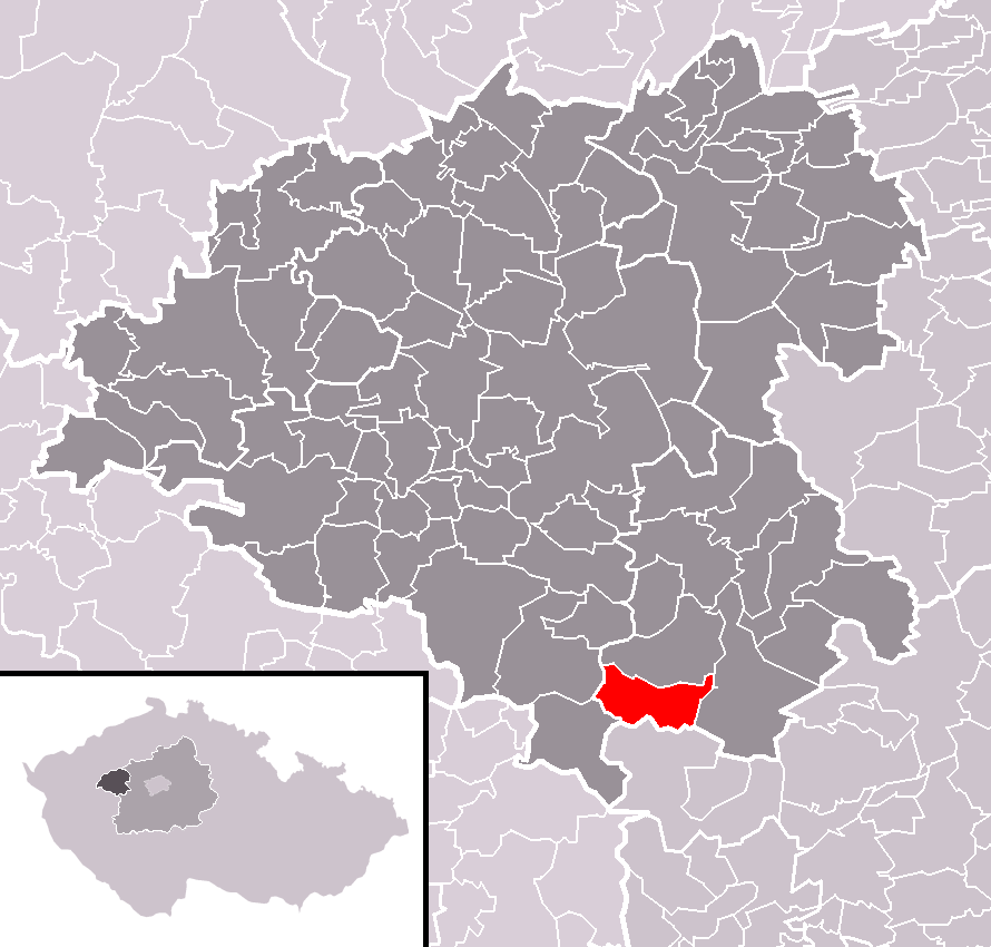
Čeština: Poloha obce Karlova Ves v rámci okresu Rakovník a (s ním rozsahem totožného) správního obvodu obce s rozšířenou působností Rakovník.
English: Location of Karlova Ves municipality within Rakovník District and (identical) administrative area of Rakovník as a Municipality with Extended Competence. |
| Date | |
| Source | Self made, based on Rakovnik District 2010 RA CZ.png and File:Map CZ - district Rakovnik.PNG |
| Author | User:Miaow Miaow |
| Permission (Reusing this file) |
PD-self |
| Other versions |
|

Licensing[edit]
| I, the copyright holder of this work, release this work into the public domain. This applies worldwide. In some countries this may not be legally possible; if so: I grant anyone the right to use this work for any purpose, without any conditions, unless such conditions are required by law. |
File history
Click on a date/time to view the file as it appeared at that time.
| Date/Time | Thumbnail | Dimensions | User | Comment | |
|---|---|---|---|---|---|
| current | 17:30, 12 February 2010 | | 890 × 850 (52 KB) | Miaow Miaow (talk | contribs) | {{Information |Description={{cs|Poloha obce '''Karlova Ves''' v rámci okresu Rakovník a (s ním rozsahem totožného) správního obvodu obce s rozšířenou působností Rakovník.}} {{en|Location of '''[[:w:en:K |
You cannot overwrite this file.
File usage on Commons
The following page uses this file:
File usage on other wikis
The following other wikis use this file:
- Usage on ceb.wikipedia.org
- Usage on cs.wikipedia.org
- Usage on de.wikipedia.org
- Usage on eo.wikipedia.org
- Usage on es.wikipedia.org
- Usage on eu.wikipedia.org
- Usage on fr.wikipedia.org
- Usage on it.wikipedia.org
- Usage on lmo.wikipedia.org
- Usage on sv.wikipedia.org
- Usage on tt.wikipedia.org
- Usage on vi.wikipedia.org
- Usage on www.wikidata.org
- Usage on zh-min-nan.wikipedia.org