File:Karte Gießen.png
Jump to navigation
Jump to search
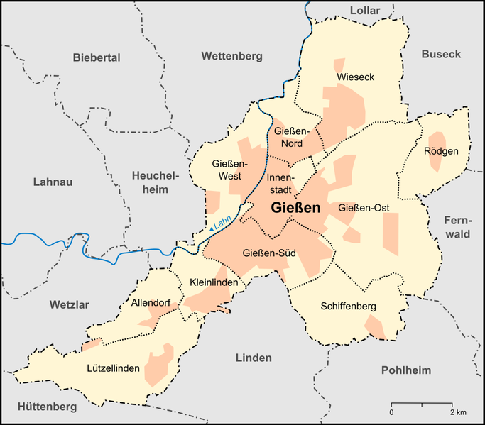
Size of this preview: 683 × 599 pixels. Other resolutions: 274 × 240 pixels | 547 × 480 pixels | 875 × 768 pixels | 1,200 × 1,053 pixels.
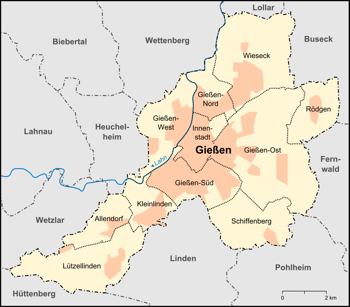
Original file (1,200 × 1,053 pixels, file size: 251 KB, MIME type: image/png)
Captions
Captions
Add a one-line explanation of what this file represents
| Description | Karte der statistischen Stadtteile und der Umlandgemeinden von Gießen |
| Date | |
| Source |
own work, used:
|
| Author | Lencer |

|
This map has been made or improved in the German Kartenwerkstatt (Map Lab). You can propose maps to improve as well.
|
I, the copyright holder of this work, hereby publish it under the following license:
This file is licensed under the Creative Commons Attribution-Share Alike 3.0 Unported license.
- You are free:
- to share – to copy, distribute and transmit the work
- to remix – to adapt the work
- Under the following conditions:
- attribution – You must give appropriate credit, provide a link to the license, and indicate if changes were made. You may do so in any reasonable manner, but not in any way that suggests the licensor endorses you or your use.
- share alike – If you remix, transform, or build upon the material, you must distribute your contributions under the same or compatible license as the original.
File history
Click on a date/time to view the file as it appeared at that time.
| Date/Time | Thumbnail | Dimensions | User | Comment | |
|---|---|---|---|---|---|
| current | 11:15, 29 March 2011 | | 1,200 × 1,053 (251 KB) | Lencer (talk | contribs) | {{Information| |Description=Karte der Stadtteile und Umlandgemeinden von Gießen |Source=own work, used: * [http://www.giessen.de/media/custom/684_6666_1.PDF?loadDocument&ObjSvrID=684&ObjID=6666&ObjLa=1&Ext=PDF&_ts=1289398270 Gießen - Sta |
You cannot overwrite this file.
File usage on Commons
There are no pages that use this file.
File usage on other wikis
The following other wikis use this file:
- Usage on de.wikipedia.org
- Usage on fy.wikipedia.org
- Usage on ja.wikipedia.org