File:Karte Sepik Expedition 1912-13.png
Jump to navigation
Jump to search

Size of this preview: 800 × 435 pixels. Other resolutions: 320 × 174 pixels | 640 × 348 pixels | 1,024 × 557 pixels | 1,280 × 696 pixels | 2,436 × 1,324 pixels.
Original file (2,436 × 1,324 pixels, file size: 2.23 MB, MIME type: image/png)
Captions
Captions
Add a one-line explanation of what this file represents
Summary
[edit]
| Description |
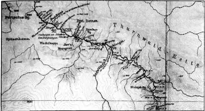
Deutsch: Walter Behrmmann: Karte Sepik Expedition 1912-13 - veröffentlicht 1917. |
| Date | |
| Source | Der Sepik (Kaiserin-Augusta-Fluss) und sein Stromgebiet. Geographischer Bericht der Kaiserin-Augusta-Fluss-Expedition 1912-13 auf der Insel Neuguinea. In: Mitteilungen aus den Deutschen Schutzgebieten. Ergänzungsheft 12. 1-100. 1917. |
| Author | Walter Behrmann |
Licensing
[edit]
This work is in the public domain in the United States because it was published (or registered with the U.S. Copyright Office) before January 1, 1929.
Public domain works must be out of copyright in both the United States and in the source country of the work in order to be hosted on the Commons. If the work is not a U.S. work, the file must have an additional copyright tag indicating the copyright status in the source country.
Note: This tag should not be used for sound recordings. |
File history
Click on a date/time to view the file as it appeared at that time.
| Date/Time | Thumbnail | Dimensions | User | Comment | |
|---|---|---|---|---|---|
| current | 21:44, 20 January 2024 | | 2,436 × 1,324 (2.23 MB) | Wonderland2001 (talk | contribs) | Uploaded a work by Walter Behrmann from Der Sepik (Kaiserin-Augusta-Fluss) und sein Stromgebiet. Geographischer Bericht der Kaiserin-Augusta-Fluss-Expedition 1912-13 auf der Insel Neuguinea. In: Mitteilungen aus den Deutschen Schutzgebieten. Ergänzungsheft 12. 1-100. 1917. with UploadWizard |
You cannot overwrite this file.
File usage on Commons
The following 2 pages use this file:
File usage on other wikis
The following other wikis use this file:
- Usage on de.wikipedia.org