File:Keise-shima map.jpg
Jump to navigation
Jump to search

No higher resolution available.
Keise-shima_map.jpg (330 × 169 pixels, file size: 24 KB, MIME type: image/jpeg)
Captions
Captions
Add a one-line explanation of what this file represents
Summary
[edit]
| Description |
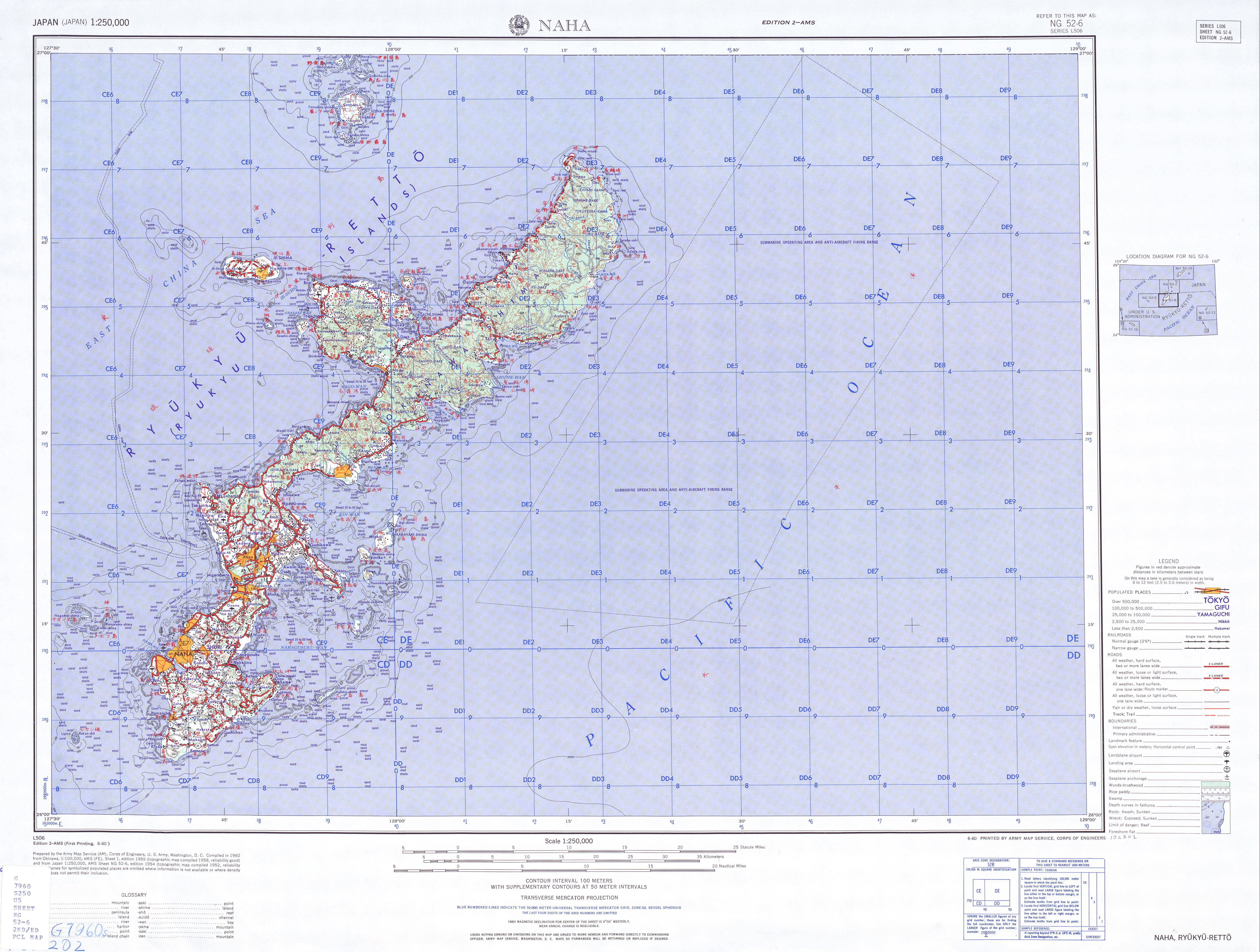
English: map of the Keise Islands |
| Date | |
| Source | http://www.lib.utexas.edu/maps/ams/japan/txu-oclc-6900707-ng52-6-2nd-ed.jpg |
| Author | Army Map Service, Corps of Engineers, U.S. Army |
Licensing
[edit]
This file is a work of a U.S. Army soldier or employee, taken or made as part of that person's official duties. As a work of the U.S. federal government, it is in the public domain in the United States.
|
 |
File history
Click on a date/time to view the file as it appeared at that time.
| Date/Time | Thumbnail | Dimensions | User | Comment | |
|---|---|---|---|---|---|
| current | 18:03, 20 November 2012 | | 330 × 169 (24 KB) | Mps2 (talk | contribs) | {{Information |Description={{en|1=map of the Keise Islands}} |Source=http://www.lib.utexas.edu/maps/ams/japan/txu-oclc-6900707-ng52-6-2nd-ed.jpg |Date=1952 |Author=Army Map Service, Corps of Engineers, U.S. Army |Permission= |other_versions= }} =={{in... |
You cannot overwrite this file.
File usage on Commons
The following page uses this file:
File usage on other wikis
The following other wikis use this file:
- Usage on de.wikipedia.org
- Usage on www.wikidata.org