File:Kent UK relief location map.jpg
ナビゲーションに移動
検索に移動
このプレビューのサイズ: 800 × 561 ピクセル。 その他の解像度: 320 × 224 ピクセル | 640 × 449 ピクセル | 1,024 × 718 ピクセル | 1,280 × 898 ピクセル | 1,999 × 1,402 ピクセル。
元のファイル (1,999 × 1,402 ピクセル、ファイルサイズ: 301キロバイト、MIME タイプ: image/jpeg)
キャプション
キャプション
このファイルの内容を1行で記述してください
| 解説 |
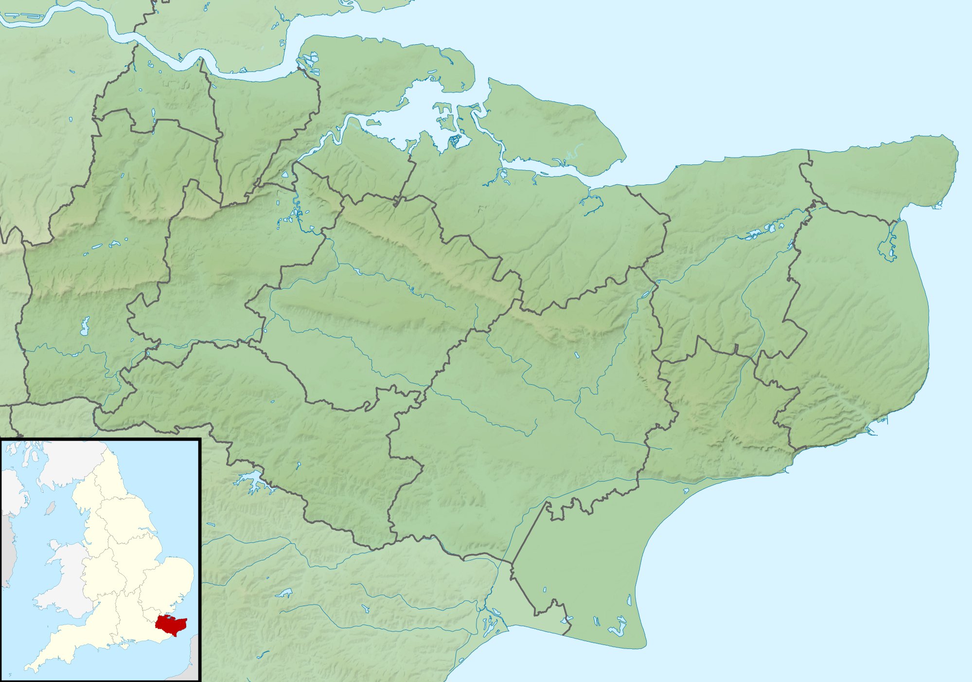
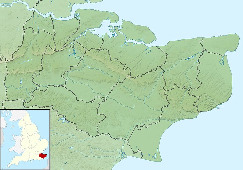
Relief map of Kent, UK. Equirectangular map projection on WGS 84 datum, with N/S stretched 160% Geographic limits:
|
| 日付 | |
| 原典 |
|
| 作者 | Nilfanion, created using Ordnance Survey data |
| 許可 (ファイルの再利用) |
このファイルはクリエイティブ・コモンズ 表示-継承 3.0 非移植ライセンスのもとに利用を許諾されています。 帰属: Contains Ordnance Survey data © Crown copyright and database right
|
| その他のバージョン | File:Kent UK district map (blank).svg - Blank map |
.svg)
ファイルの履歴
過去の版のファイルを表示するには、その版の日時をクリックしてください。
| 日付と時刻 | サムネイル | 寸法 | 利用者 | コメント | |
|---|---|---|---|---|---|
| 現在の版 | 2011年11月29日 (火) 01:42 | | 1,999 × 1,402 (301キロバイト) | Nilfanion (トーク | 投稿記録) | {{Information |Description=Relief map of Kent, UK. Equirectangular map projection on WGS 84 datum, with N/S stretched 160% Geographic limits: *West: 0.01E *East: 1.47E *North: 51.52N *South: 50.88N |Source=[[w:Ordnance Survey|Ordnance Survey] |
このファイルは上書きできません。
ファイルの使用状況
このファイルを使用しているページはありません。
グローバルなファイル使用状況
以下に挙げる他のウィキがこの画像を使っています:
- ar.wikipedia.org での使用状況
- bg.wikipedia.org での使用状況
- ceb.wikipedia.org での使用状況
- el.wikipedia.org での使用状況
- en.wikipedia.org での使用状況
- John Dixwell
- Ightham Mote
- Chartwell
- Bewl Water
- Volvo World Match Play Championship
- Royal Cinque Ports Golf Club
- Michael Livesey
- Medway Gap
- London Seniors Masters
- Walmer Lifeboat Station
- Betsom's Hill
- Cliffe Fort
- The Grange, Ramsgate
- 1993 Open Championship
- Long Barn
- Ramsgate Lifeboat Station
- Nathaniel Rich (soldier)
- Capel Manor House
- User:Jokulhlaup/draftarticle21
- Broome Park
- St Augustine's Abbey
- Margate Lifeboat Station
- Whitstable Lifeboat Station
- Sheerness Lifeboat Station
- Dover Lifeboat Station
- SS Maloja
- Poundsbridge Manor
- Dover lorry deaths
- Thanet & District Reform Synagogue
- Module:Location map/data/United Kingdom Kent
- Module:Location map/data/Kent
- Module:Location map/data/United Kingdom Kent/doc
このファイルのグローバル使用状況を表示する。