File:Kings Arms Tavern, Colonial Williamsburg, Virginia.jpg

Original file (4,000 × 3,000 pixels, file size: 3.9 MB, MIME type: image/jpeg)
Captions
Captions
Summary[edit]
| Description |
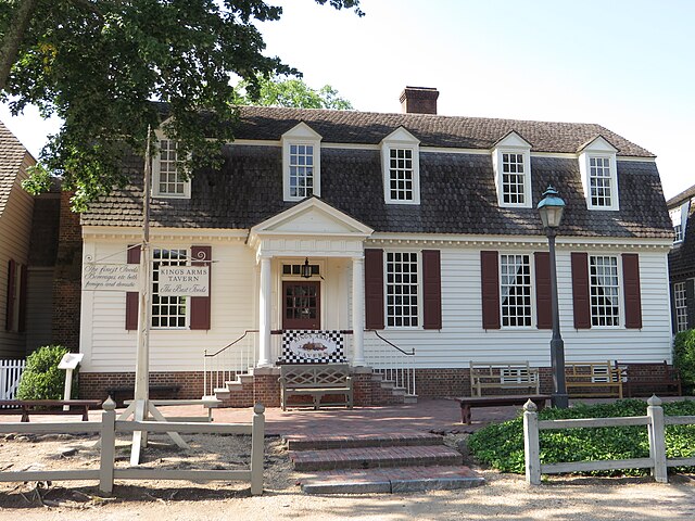
English: Colonial Williamsburg is a living-history museum and private foundation representing the historic district of the city of Williamsburg, Virginia, USA. The 301-acre (122 ha) Historic Area includes buildings dating from 1699 to 1780 (during which the city was the capital of Colonial Virginia), as well as Colonial Revival and more recent reconstructions. The Historic Area is an interpretation of a Colonial American city, with exhibits including dozens of authentic or re-created buildings related to colonial and American Revolutionary War history.
Middle Plantation was renamed "Williamsburg" by Royal Governor Francis Nicholson, proponent of the change, in honor of King William III of England. The new site was described by Nicholson as a place where "clear and crystal springs burst from the champagne soil" and was seen as a vision of future utopia. He had the city surveyed and a plan laid out by Theodorick Bland taking into consideration the fine brick College Building and Bruton Parish Church. The main street was named Duke of Gloucester after the eldest son of Queen Anne. For most of the 18th century, Williamsburg was the center of government, education and culture in the Colony of Virginia. George Washington, Thomas Jefferson, Patrick Henry, James Monroe, James Madison, George Wythe, Peyton Randolph, and others molded democracy in the Commonwealth of Virginia and the United States here. During the American Revolutionary War, in 1780, the capital of Virginia was moved to Richmond, about 55 miles (90 km) west, to be more distant from British attack, where it remains today en.wikipedia.org/wiki/Colonial_Williamsburg en.wikipedia.org/wiki/Wikipedia:Text_of_Creative_Commons_... |
| Date | |
| Source | https://www.flickr.com/photos/kenlund/14238277190/ |
| Author | Ken Lund |
| Camera location | | View this and other nearby images on: OpenStreetMap |
|---|
Licensing[edit]
- You are free:
- to share – to copy, distribute and transmit the work
- to remix – to adapt the work
- Under the following conditions:
- attribution – You must give appropriate credit, provide a link to the license, and indicate if changes were made. You may do so in any reasonable manner, but not in any way that suggests the licensor endorses you or your use.
- share alike – If you remix, transform, or build upon the material, you must distribute your contributions under the same or compatible license as the original.
| This image was originally posted to Flickr by Ken Lund at https://flickr.com/photos/75683070@N00/14238277190. It was reviewed on 14 January 2022 by FlickreviewR 2 and was confirmed to be licensed under the terms of the cc-by-sa-2.0. |
File history
Click on a date/time to view the file as it appeared at that time.
| Date/Time | Thumbnail | Dimensions | User | Comment | |
|---|---|---|---|---|---|
| current | 16:28, 14 January 2022 | | 4,000 × 3,000 (3.9 MB) | Gamaliel (talk | contribs) | Uploaded a work by Ken Lund from https://www.flickr.com/photos/kenlund/14238277190/ with UploadWizard |
You cannot overwrite this file.
File usage on Commons
There are no pages that use this file.