File:Laaksolahden kartano - kartta.png
Jump to navigation
Jump to search
Size of this preview: 800 × 522 pixels. Other resolutions: 320 × 209 pixels | 640 × 417 pixels | 1,024 × 668 pixels | 1,280 × 835 pixels | 2,560 × 1,669 pixels | 3,264 × 2,128 pixels.
Original file (3,264 × 2,128 pixels, file size: 5.29 MB, MIME type: image/png)
Captions
Captions
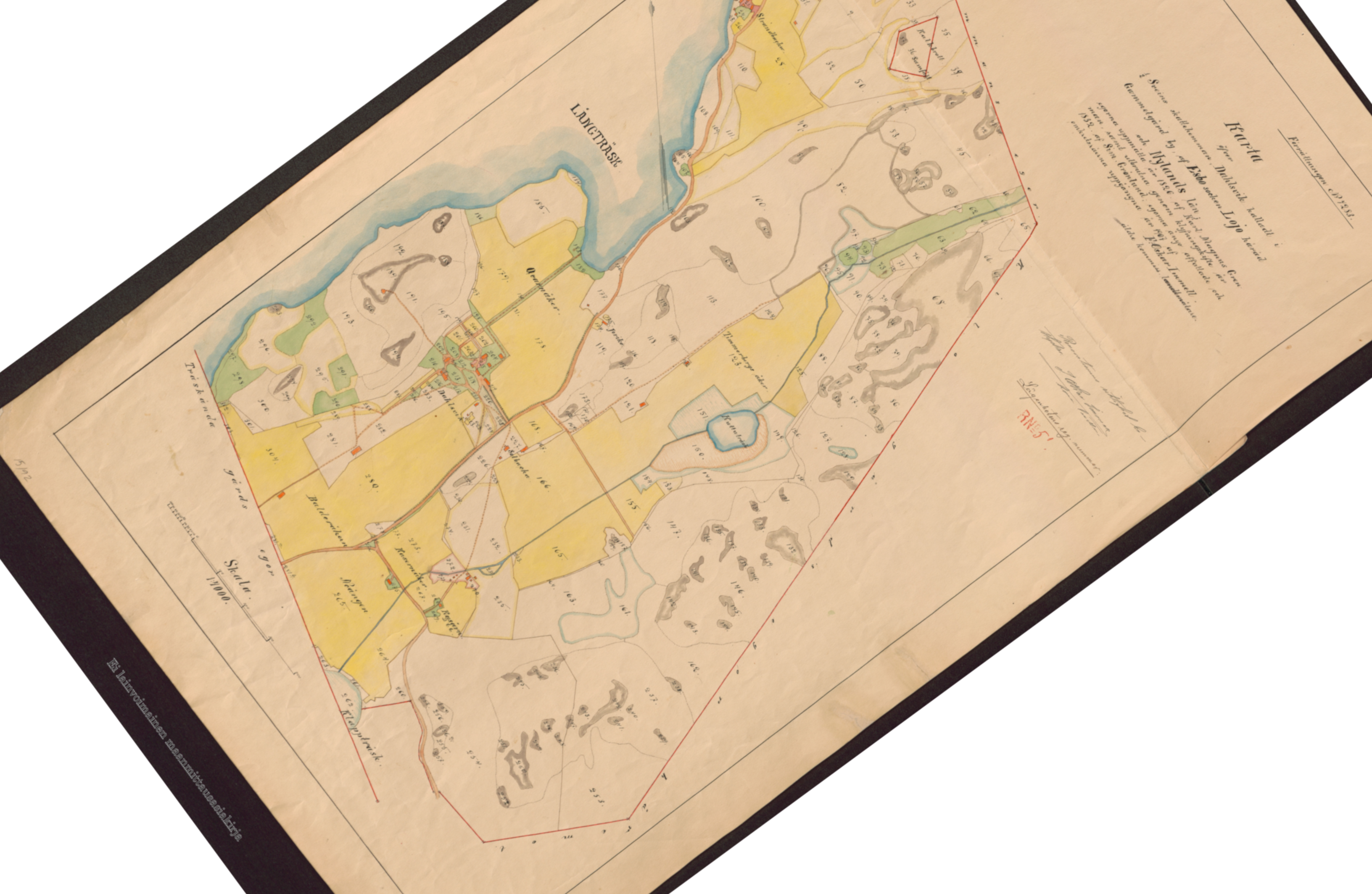
Map of Laaksolahti area in Espoo, Finland. This old map has been rotated in a way that north is up. This allows for comparison with current maps.
Summary
[edit]
| Description |
Suomi: Laaksolahden kartano - kartta |
| Date | |
| Source | http://digi.narc.fi/ |
| Author | Kansallisarkisto |
Licensing
[edit]
This file is licensed under the Creative Commons Attribution 4.0 International license.
- You are free:
- to share – to copy, distribute and transmit the work
- to remix – to adapt the work
- Under the following conditions:
- attribution – You must give appropriate credit, provide a link to the license, and indicate if changes were made. You may do so in any reasonable manner, but not in any way that suggests the licensor endorses you or your use.
File history
Click on a date/time to view the file as it appeared at that time.
| Date/Time | Thumbnail | Dimensions | User | Comment | |
|---|---|---|---|---|---|
| current | 10:17, 2 March 2020 | | 3,264 × 2,128 (5.29 MB) | Tuopen (talk | contribs) | Please do not rotate this image. It is rotated this way in purpose to have north facing up. |
| 10:09, 2 March 2020 |  | 1,980 × 3,272 (4.9 MB) | PawełMM (talk | contribs) | Reverted to version as of 09:18, 2 March 2020 (UTC) | |
| 09:31, 2 March 2020 |  | 3,264 × 2,128 (5.29 MB) | Tuopen (talk | contribs) | Reverted to version as of 09:03, 2 March 2020 (UTC) | |
| 09:18, 2 March 2020 |  | 1,980 × 3,272 (4.9 MB) | PawełMM (talk | contribs) | rotated -53° | |
| 09:03, 2 March 2020 |  | 3,264 × 2,128 (5.29 MB) | Tuopen (talk | contribs) | User created page with UploadWizard |
You cannot overwrite this file.
File usage on Commons
There are no pages that use this file.