File:Lageplan Haus Effeld.png
Jump to navigation
Jump to search

Size of this preview: 688 × 600 pixels. Other resolutions: 275 × 240 pixels | 551 × 480 pixels | 966 × 842 pixels.
Original file (966 × 842 pixels, file size: 136 KB, MIME type: image/png)
Captions
Captions
Add a one-line explanation of what this file represents
| Description |
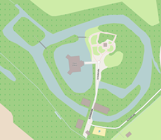
Deutsch: Lageplan des Schlosses Effeld in Wassenberg-Effeld |
|||||||||
| Date | ||||||||||
| Source | openstreetmap.org | |||||||||
| Creator |
OpenStreetMap contributors |
|||||||||
| Permission (Reusing this file) |
OpenStreetMap data is available under the Open Database License (details). Map tiles are licensed under the Creative Commons Attribution-ShareAlike 2.0 license (CC-BY-SA 2.0).
This file is licensed under the Creative Commons Attribution-Share Alike 2.0 Generic license.
|
|||||||||
| Geotemporal data | ||||||||||
| Bounding box |
|
|||||||||
| Georeferencing | If inappropriate please set warp_status = skip to hide. | |||||||||
File history
Click on a date/time to view the file as it appeared at that time.
| Date/Time | Thumbnail | Dimensions | User | Comment | |
|---|---|---|---|---|---|
| current | 18:57, 16 June 2014 | | 966 × 842 (136 KB) | Sir Gawain (talk | contribs) | {{OpenStreetMap |description={{de|Lageplan des Schlosses Effeld in Wassenberg-Effeld}} | top = 51.12386 | bottom = 51.12244 | left = 6.09557 | right = 6.09818 |date=2014-06-16 |source=[http://www.openstreetmap.org... |
You cannot overwrite this file.
File usage on Commons
There are no pages that use this file.
File usage on other wikis
The following other wikis use this file:
- Usage on de.wikipedia.org