File:Little Oso Diversion Dam pano.jpg
Jump to navigation
Jump to search

Size of this preview: 800 × 289 pixels. Other resolutions: 320 × 116 pixels | 640 × 231 pixels | 1,024 × 370 pixels | 1,280 × 463 pixels | 4,080 × 1,475 pixels.
Original file (4,080 × 1,475 pixels, file size: 5.48 MB, MIME type: image/jpeg)
Captions
Captions
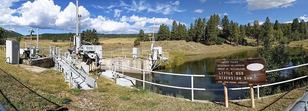
The LIttle Oso Diversion Dam on the Little Navajo River, part of the San Juan–Chama Project
Summary[edit]
| Description |
English: The LIttle Oso Diversion Dam on the Little Navajo River in Colorado, part of the San Juan–Chama Project, showing the sign by the US Department of the Interior, Bureau of Reclamation |
| Date | |
| Source | Own work |
| Author | Dicklyon |
| Camera location | | View this and other nearby images on: OpenStreetMap |
|---|
Licensing[edit]
I, the copyright holder of this work, hereby publish it under the following license:
This file is licensed under the Creative Commons Attribution-Share Alike 4.0 International license.
- You are free:
- to share – to copy, distribute and transmit the work
- to remix – to adapt the work
- Under the following conditions:
- attribution – You must give appropriate credit, provide a link to the license, and indicate if changes were made. You may do so in any reasonable manner, but not in any way that suggests the licensor endorses you or your use.
- share alike – If you remix, transform, or build upon the material, you must distribute your contributions under the same or compatible license as the original.
File history
Click on a date/time to view the file as it appeared at that time.
| Date/Time | Thumbnail | Dimensions | User | Comment | |
|---|---|---|---|---|---|
| current | 04:29, 21 September 2019 | 4,080 × 1,475 (5.48 MB) | Dicklyon (talk | contribs) | User created page with UploadWizard |
You cannot overwrite this file.
File usage on Commons
The following page uses this file:
- File:LIttle Oso Diversion Dam pano.jpg (file redirect)
File usage on other wikis
The following other wikis use this file:
- Usage on en.wikipedia.org