File:Location OudeIJssel.png
Aller à la navigation
Aller à la recherche
Taille de cet aperçu : 450 × 599 pixels. Autres résolutions : 180 × 240 pixels | 580 × 772 pixels.
Fichier d’origine (580 × 772 pixels, taille du fichier : 79 kio, type MIME : image/png)
Légendes
Légendes
Ajoutez en une ligne la description de ce que représente ce fichier
Description[modifier]
| Description |
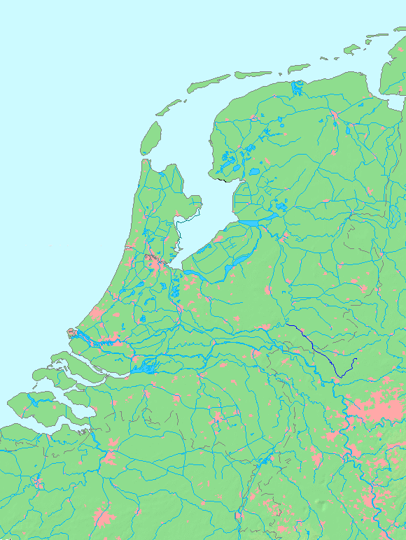
Oude IJssel
Conditions d’utilisation
|
||||||||||||
| Date | (UTC) | ||||||||||||
| Source | |||||||||||||
| Auteur |
|
This image is in the public domain because it came from the site https://www.demis.nl/products/web-map-server/examples/ and was released by the copyright holder. Permission is granted to copy, distribute and/or modify this map since it is based on free of copyright images from: www.demis.nl. See also approval email on de.wp and its clarification.
|
| This work has been released into the public domain by its copyright holder, www.demis.nl. This applies worldwide. Dans certains pays, ceci peut ne pas être possible ; dans ce cas : www.demis.nl accorde à toute personne le droit d’utiliser cette œuvre dans n’importe quel but, sans aucune condition, sauf celles requises par la loi.
|
Journal des téléversements d’origine[modifier]
This image is a derivative work of the following images:
- File:MapNetherlandsWater.PNG licensed with PD-Demis
- 2005-10-16T15:12:31Z Michiel1972 580x772 (78734 Bytes) cor.
- 2005-10-16T13:35:27Z Michiel1972 580x772 (78676 Bytes) *map shows waterbodies , rivers and canals in Netherlands *based on free-licence data/map software http://www.demis.nl/home [[category:Maps of the Netherlands]]
Téléversé avec derivativeFX
Historique du fichier
Cliquer sur une date et heure pour voir le fichier tel qu'il était à ce moment-là.
| Date et heure | Vignette | Dimensions | Utilisateur | Commentaire | |
|---|---|---|---|---|---|
| actuel | 29 août 2010 à 13:59 | | 580 × 772 (79 kio) | Hans Erren (d | contributions) | {{Information |Description=Oude IJssel {{dutchwaterwaymap}} |Source=*File:MapNetherlandsWater.PNG |Date=2010-08-29 13:56 (UTC) |Author=*File:MapNetherlandsWater.PNG: Michiel1972 *derivative work: ~~~ |Permission= |other_ve |
Vous ne pouvez pas remplacer ce fichier.
Utilisations locales du fichier
Aucune page n’utilise ce fichier.
Utilisations du fichier sur d’autres wikis
Les autres wikis suivants utilisent ce fichier :
- Utilisation sur nl.wikipedia.org
- Utilisation sur zh.wikipedia.org