File:Location OudeIJssel.png
跳至導覽
跳至搜尋
預覽大小:450 × 599 像素。 其他解析度:180 × 240 像素 | 580 × 772 像素。
原始檔案 (580 × 772 像素,檔案大小:79 KB,MIME 類型:image/png)
說明
說明
添加單行說明來描述出檔案所代表的內容
摘要
[編輯]
| 描述 |
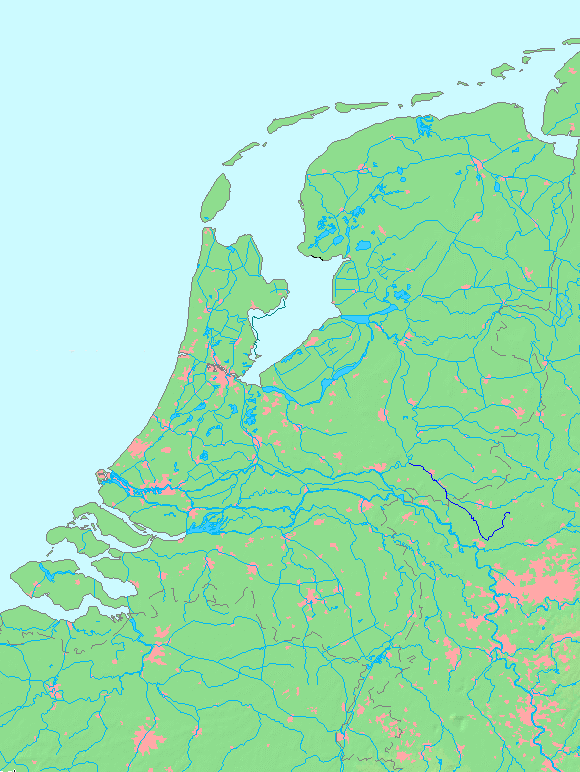
Oude IJssel
授權條款
|
||||||||||||
| 日期 | (UTC) | ||||||||||||
| 來源 | |||||||||||||
| 作者 |
|
This image is in the public domain because it came from the site https://www.demis.nl/products/web-map-server/examples/ and was released by the copyright holder. Permission is granted to copy, distribute and/or modify this map since it is based on free of copyright images from: www.demis.nl. See also approval email on de.wp and its clarification.
|
| This work has been released into the public domain by its copyright holder, www.demis.nl. This applies worldwide. 這可能在某些國家不合法,如果是的話: www.demis.nl授予任何人有權利使用此作品於任何用途,除受法律約束外,不受任何限制。
|
原始上傳日誌
[編輯]
This image is a derivative work of the following images:
- File:MapNetherlandsWater.PNG licensed with PD-Demis
- 2005-10-16T15:12:31Z Michiel1972 580x772 (78734 Bytes) cor.
- 2005-10-16T13:35:27Z Michiel1972 580x772 (78676 Bytes) *map shows waterbodies , rivers and canals in Netherlands *based on free-licence data/map software http://www.demis.nl/home [[category:Maps of the Netherlands]]
Uploaded with derivativeFX
檔案歷史
點選日期/時間以檢視該時間的檔案版本。
| 日期/時間 | 縮圖 | 尺寸 | 用戶 | 備註 | |
|---|---|---|---|---|---|
| 目前 | 2010年8月29日 (日) 13:59 | | 580 × 772(79 KB) | Hans Erren(對話 | 貢獻) | {{Information |Description=Oude IJssel {{dutchwaterwaymap}} |Source=*File:MapNetherlandsWater.PNG |Date=2010-08-29 13:56 (UTC) |Author=*File:MapNetherlandsWater.PNG: Michiel1972 *derivative work: ~~~ |Permission= |other_ve |
無法覆蓋此檔案。
檔案用途
沒有使用此檔案的頁面。
全域檔案使用狀況
以下其他 wiki 使用了這個檔案:
- nl.wikipedia.org 的使用狀況
- zh.wikipedia.org 的使用狀況