File:Location map Nunavut.png
Jump to navigation
Jump to search
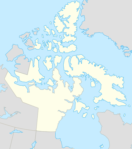
Size of this preview: 533 × 600 pixels. Other resolutions: 213 × 240 pixels | 427 × 480 pixels.
Original file (800 × 900 pixels, file size: 157 KB, MIME type: image/png)
Captions
Captions
Add a one-line explanation of what this file represents
Summary
[edit]
| Description |
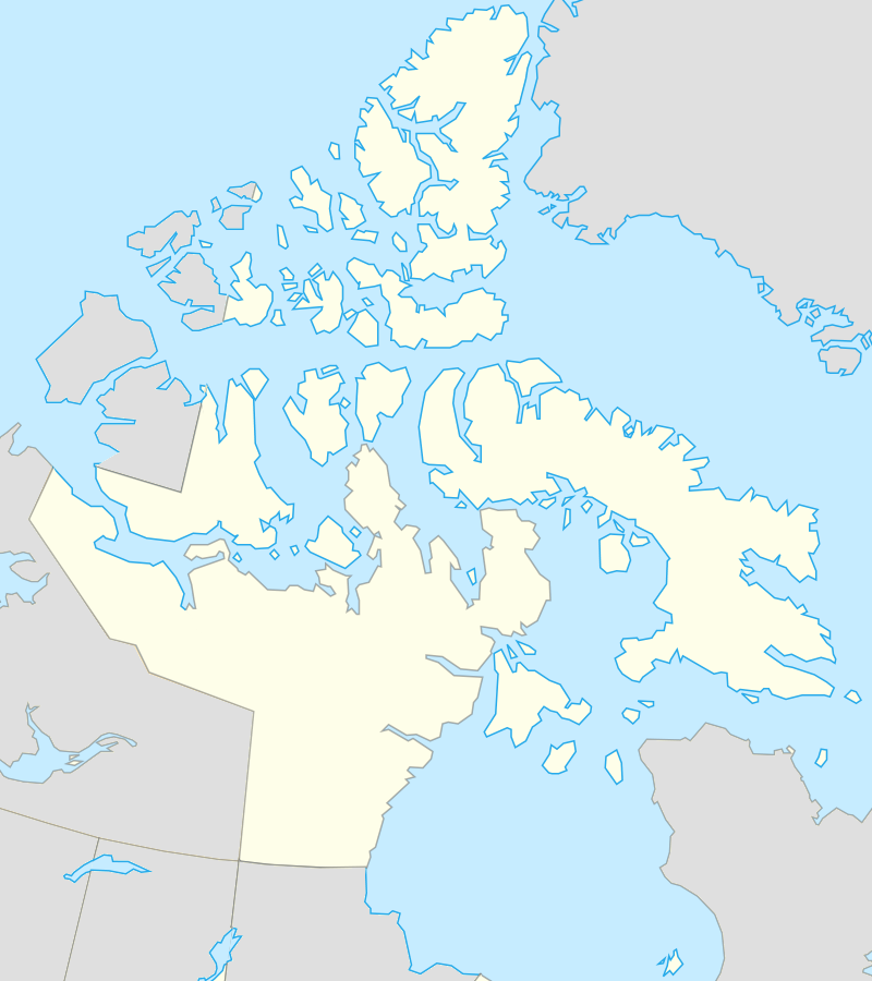
English: Map of Nunavut |
| Date | |
| Source | Based on File:Canada location map.svg |
| Author | Algkalv and Dr. Blofeld based on original by Yug |
| Other versions |
 |
Licensing
[edit]
I, the copyright holder of this work, hereby publish it under the following license:
This file is licensed under the Creative Commons Attribution-Share Alike 3.0 Unported license.
- You are free:
- to share – to copy, distribute and transmit the work
- to remix – to adapt the work
- Under the following conditions:
- attribution – You must give appropriate credit, provide a link to the license, and indicate if changes were made. You may do so in any reasonable manner, but not in any way that suggests the licensor endorses you or your use.
- share alike – If you remix, transform, or build upon the material, you must distribute your contributions under the same or compatible license as the original.
File history
Click on a date/time to view the file as it appeared at that time.
| Date/Time | Thumbnail | Dimensions | User | Comment | |
|---|---|---|---|---|---|
| current | 12:03, 8 September 2010 | | 800 × 900 (157 KB) | Blofeld Dr. (talk | contribs) | {{Information |Description={{en|1=Map of Nunavut}} |Source=Based on File:Canada location map.svg |Author=Algkalv and Dr. Blofeld |Date=2010-09-08 |Permission= |other_versions= }} Category:Nunavut |
You cannot overwrite this file.
File usage on Commons
The following page uses this file:
File usage on other wikis
The following other wikis use this file:
- Usage on de.wikipedia.org
- Usage on pt.wikipedia.org
- Iqaluit
- Ilha de Baffin
- Ilha Victoria
- Alert (Nunavut)
- Ilha Mansel
- Monte Thor
- Ilha de Devon
- Ilha do Príncipe de Gales (Nunavut)
- Ilha Southampton
- Ilha North Kent
- Grise Fiord
- Ilha de Bjarnason
- Pico Barbeau
- Cratera de Haughton
- Ilha Buckingham
- Ilha Charles (Nunavut)
- Península de Fosheim
- Predefinição:Mapa de localização/Nunavut
- Estreito de Fisher
- Canal de Foxe
- Ilha Jens Munk
- Ennadai
- Golfo da Rainha Maud
- Ilha Kugong
- Monte Angilaaq