File:Locator map of Kanton Tourcoing-1.png
Jump to navigation
Jump to search

Size of this preview: 800 × 563 pixels. Other resolutions: 320 × 225 pixels | 640 × 450 pixels | 1,024 × 720 pixels | 1,280 × 901 pixels | 2,500 × 1,759 pixels.
Original file (2,500 × 1,759 pixels, file size: 896 KB, MIME type: image/png)
Captions
Captions
Add a one-line explanation of what this file represents
| Description |
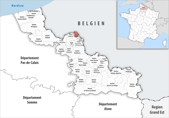
Deutsch: Lage des Kantons Tourcoing-1 |
||||||||
| Date | |||||||||
| Source | Own work | ||||||||
| Author | Tschubby | ||||||||
| Permission (Reusing this file) |
I, the copyright holder of this work, hereby publish it under the following licenses:
This file is licensed under the Creative Commons Attribution-Share Alike 2.5 Generic, 2.0 Generic and 1.0 Generic license.
You may select the license of your choice. |

File history
Click on a date/time to view the file as it appeared at that time.
| Date/Time | Thumbnail | Dimensions | User | Comment | |
|---|---|---|---|---|---|
| current | 10:22, 16 December 2016 | | 2,500 × 1,759 (896 KB) | Tschubby (talk | contribs) | {{Information |Description= {{de|Lage des Kantons Tourcoing-1}} |Source={{own}} |Date= 2016-12-16 |Author= Tschubby |Permission= {{self|GFDL|Cc-by-sa-3.0-migrated|Cc-by-sa-2.5,2.0,1.0}} |other_versions= }} [[Category:Locator maps... |
You cannot overwrite this file.
File usage on Commons
There are no pages that use this file.