File:London Commuter Belt map no TTW.svg
跳转到导航
跳转到搜索

此SVG文件的PNG预览的大小:800 × 591像素。 其他分辨率:320 × 236像素 | 640 × 473像素 | 1,024 × 757像素 | 1,280 × 946像素 | 2,560 × 1,892像素 | 1,000 × 739像素。
原始文件 (SVG文件,尺寸为1,000 × 739像素,文件大小:2.94 MB)
说明
说明
添加一行文字以描述该文件所表现的内容
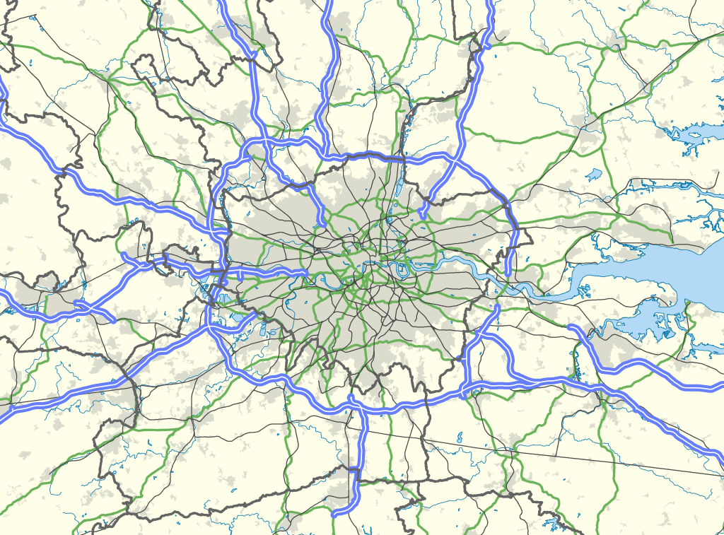
| 描述 | Map of the London area, with the London Travel to Work Area highlighted in red. |
| 日期 | |
| 来源 |
Office of National Statistics Geography
|
| 作者 | Nilfanion, created using Ordnance Survey data |
| 授权 (二次使用本文件) |
本文件采用知识共享署名-相同方式共享 3.0 未本地化版本许可协议授权。 署名: Contains Ordnance Survey data © Crown copyright and database right
|
文件历史
点击某个日期/时间查看对应时刻的文件。
| 日期/时间 | 缩略图 | 大小 | 用户 | 备注 | |
|---|---|---|---|---|---|
| 当前 | 2013年3月31日 (日) 22:00 | | 1,000 × 739(2.94 MB) | Remdabest(留言 | 贡献) | User created page with UploadWizard |
您不可以覆盖此文件。
文件用途
没有页面使用本文件。
全域文件用途
以下其他wiki使用此文件:
- ar.wikipedia.org上的用途
- en.wikipedia.org上的用途
- Hertfordshire
- London
- Reading, Berkshire
- Slough
- Luton
- Dorking
- High Wycombe
- Crawley
- Leatherhead
- Chelmsford
- Aylesbury
- Southend-on-Sea
- Medway
- Sevenoaks
- London metropolitan area
- Farnborough/Aldershot built-up area
- Reading built-up area
- Greater London Built-up Area
- Luton/Dunstable urban area
- Template:London commuter belt
- Category:Greater London
- Greater London
- Borough of Slough
- fr.wikipedia.org上的用途
- ko.wikipedia.org上的用途
- no.wikipedia.org上的用途
- pt.wikipedia.org上的用途
- sv.wikipedia.org上的用途
- ur.wikipedia.org上的用途
- zh.wikipedia.org上的用途