File:Luxemburg (Karte von Elsass-Lothringen, 1879).jpg
Jump to navigation
Jump to search
Size of this preview: 800 × 558 pixels. Other resolutions: 320 × 223 pixels | 640 × 447 pixels | 1,046 × 730 pixels.
Original file (1,046 × 730 pixels, file size: 347 KB, MIME type: image/jpeg)
Captions
Captions
Add a one-line explanation of what this file represents
Summary[edit]
| Description |
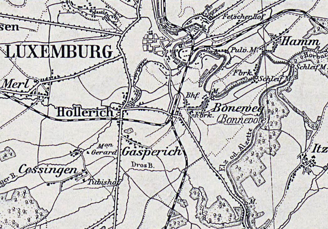
Deutsch: Die Stadt Luxemburg auf einem Ausschnitt der Karte von Elsass-Lothringen |
||||||||||||||||||||||||||
| Date | |||||||||||||||||||||||||||
| Source |
|
||||||||||||||||||||||||||
| Author | Preussen. Geographisch-Statistische Abteilung. Cartographe | ||||||||||||||||||||||||||
| Other versions | |||||||||||||||||||||||||||

.jpg)
.jpg&action=edit§ion=1)
Licensing[edit]
.jpg&action=edit§ion=2)
| This file is made available under the Creative Commons CC0 1.0 Universal Public Domain Dedication. | |
| The person who associated a work with this deed has dedicated the work to the public domain by waiving all of their rights to the work worldwide under copyright law, including all related and neighboring rights, to the extent allowed by law. You can copy, modify, distribute and perform the work, even for commercial purposes, all without asking permission.
|
File history
Click on a date/time to view the file as it appeared at that time.
| Date/Time | Thumbnail | Dimensions | User | Comment | |
|---|---|---|---|---|---|
| current | 11:52, 20 September 2023 | | 1,046 × 730 (347 KB) | Ronn (talk | contribs) | Uploaded a work by Preussen. Geographisch-Statistische Abteilung. Cartographe from {{Institution:Bibliothèque nationale de France}} with UploadWizard |
You cannot overwrite this file.
File usage on Commons
The following page uses this file:
File usage on other wikis
The following other wikis use this file:
- Usage on nl.wikipedia.org
.jpg&oldid=803093548)