File:Lyons, Kansas (14475180826).jpg

Original file (4,000 × 3,000 pixels, file size: 8.68 MB, MIME type: image/jpeg)
Captions
Captions
Summary
[edit].jpg&action=edit§ion=1)
| Description |
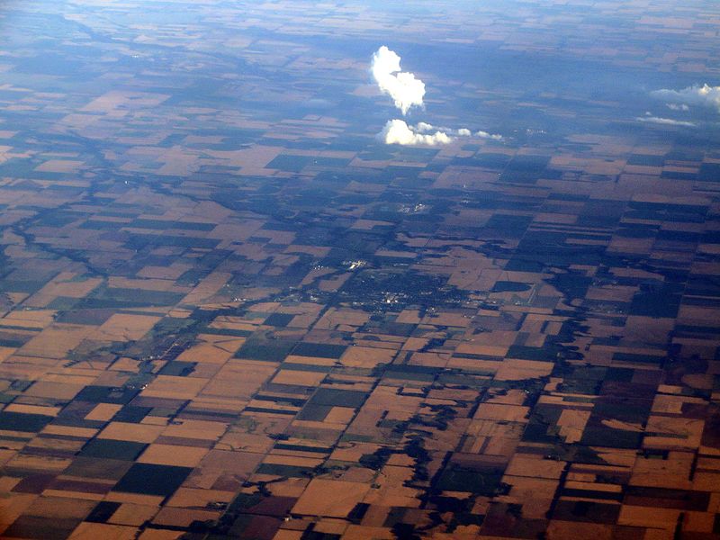
Lyons is a city in and the county seat of Rice County, Kansas, United States. As of the 2010 census, the city population was 3,739. For millennia, the land now known as Kansas was inhabited by Native Americans. Although Coronado's exact route across the plains is uncertain and has been widely disputed, he and his men are thought to have camped near the present location of Lyons on their quest for Quivira, a Native American place which Indians to the southwest had told them was fabulously wealthy in gold. West of Lyons is a cross commemorating Juan de Padilla, a member of Coronado's expedition, who returned the following year as a missionary. He was killed in 1542 by Native Americans after establishing a church in the area, and is considered the first Christian martyr in North America. In 1803, most of modern Kansas was secured by the United States as part of the Louisiana Purchase. Lyons Main Street (U.S. Highway 56) is based on the Santa Fe Trail. In 1854, the Kansas Territory was organized, then in 1861 Kansas became the 34th U.S. state. In 1867, Rice County was founded. Lyons was originally called Atlanta, and under the latter name was founded in 1870. It was renamed Lyons in 1876, in honor of Freeman J. Lyons. In 1878, Atchison, Topeka and Santa Fe Railway and parties from Marion County and McPherson County chartered the Marion and McPherson Railway Company. In 1879, a branch line was built from Florence to McPherson, in 1880 it was extended to Lyons, in 1881 it was extended to Ellinwood. The line was leased and operated by the Atchison, Topeka and Santa Fe Railway. The line from Florence to Marion, was abandoned in 1968. In 1992, the line from Marion to McPherson was sold to Central Kansas Railway. In 1993, after heavy flood damage, the line from Marion to McPherson was abandoned. The original branch line connected Florence, Marion, Canada, Hillsboro, Lehigh, Canton, Galva, McPherson, Conway, Windom, Little River, Mitchell, Lyons, Chase, Ellinwood. Lyons was incorporated as a city in 1880, the same year the railroad was built through it. In 1890, the Western Salt Company put down its first shaft to mine Salt in Lyons. en.wikipedia.org/wiki/Lyons,_Kansas en.wikipedia.org/wiki/Wikipedia:Text_of_Creative_Commons_... |
| Date | |
| Source | Lyons, Kansas |
| Author | Ken Lund from Reno, Nevada, USA |
| Camera location | | View this and other nearby images on: OpenStreetMap |
|---|
.jpg¶ms=038.347773_N_-098.201905_E_globe:Earth_type:camera_source:Flickr_&language=en)
Licensing
[edit].jpg&action=edit§ion=2)
- You are free:
- to share – to copy, distribute and transmit the work
- to remix – to adapt the work
- Under the following conditions:
- attribution – You must give appropriate credit, provide a link to the license, and indicate if changes were made. You may do so in any reasonable manner, but not in any way that suggests the licensor endorses you or your use.
- share alike – If you remix, transform, or build upon the material, you must distribute your contributions under the same or compatible license as the original.
| This image was originally posted to Flickr by Ken Lund at https://flickr.com/photos/75683070@N00/14475180826. It was reviewed on 4 December 2015 by FlickreviewR and was confirmed to be licensed under the terms of the cc-by-sa-2.0. |
File history
Click on a date/time to view the file as it appeared at that time.
| Date/Time | Thumbnail | Dimensions | User | Comment | |
|---|---|---|---|---|---|
| current | 03:52, 4 December 2015 | | 4,000 × 3,000 (8.68 MB) | INeverCry (talk | contribs) | Transferred from Flickr via Flickr2Commons |
You cannot overwrite this file.
File usage on Commons
There are no pages that use this file.
File usage on other wikis
The following other wikis use this file:
- Usage on sr.wikipedia.org
- Usage on sv.wikipedia.org
.jpg&oldid=875349424)