File:Mali Map (cropped).jpg
Jump to navigation
Jump to search

Size of this preview: 800 × 574 pixels. Other resolutions: 320 × 230 pixels | 640 × 459 pixels | 1,024 × 735 pixels | 1,264 × 907 pixels.
Original file (1,264 × 907 pixels, file size: 503 KB, MIME type: image/jpeg)
Captions
Captions
Add a one-line explanation of what this file represents
| Description |
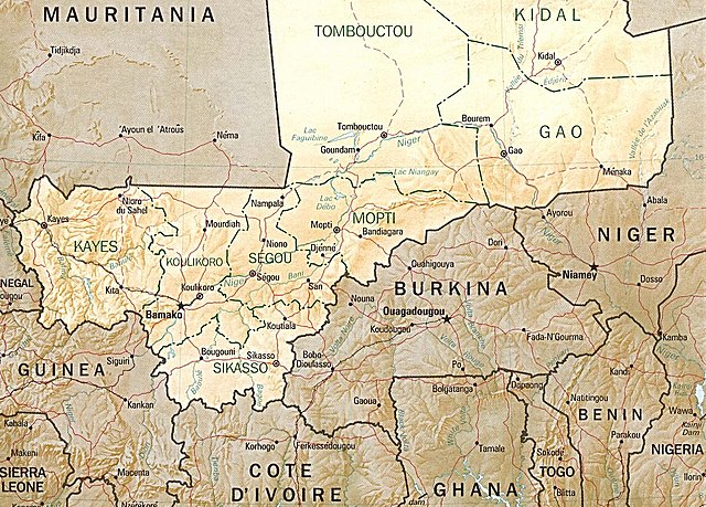
English: Shaded relief map of Mali. |
|||
| Date | ||||
| Source | [1] from the Perry-Castañeda Library Map Collection. | |||
| Author | CIA | |||
| Permission (Reusing this file) |
|
|||
| Other versions |


![[1]](http://www.lib.utexas.edu/maps/africa/mali_rel94.jpg)
File history
Click on a date/time to view the file as it appeared at that time.
| Date/Time | Thumbnail | Dimensions | User | Comment | |
|---|---|---|---|---|---|
| current | 07:34, 9 September 2022 | | 1,264 × 907 (503 KB) | Terre Intègre (talk | contribs) | File:Mali Map.jpg cropped 14 % horizontally, 48 % vertically using CropTool with precise mode. |
You cannot overwrite this file.
File usage on Commons
The following page uses this file:
File usage on other wikis
The following other wikis use this file:
- Usage on fr.wikipedia.org
.jpg&oldid=688427653)