File:Map of Fernando de Noronha-fr.svg
Jump to navigation
Jump to search

Size of this PNG preview of this SVG file: 800 × 554 pixels. Other resolutions: 320 × 222 pixels | 640 × 443 pixels | 1,024 × 709 pixels | 1,280 × 886 pixels | 2,560 × 1,772 pixels | 1,300 × 900 pixels.
Original file (SVG file, nominally 1,300 × 900 pixels, file size: 28 KB)
Captions
Captions
Add a one-line explanation of what this file represents
| Description |
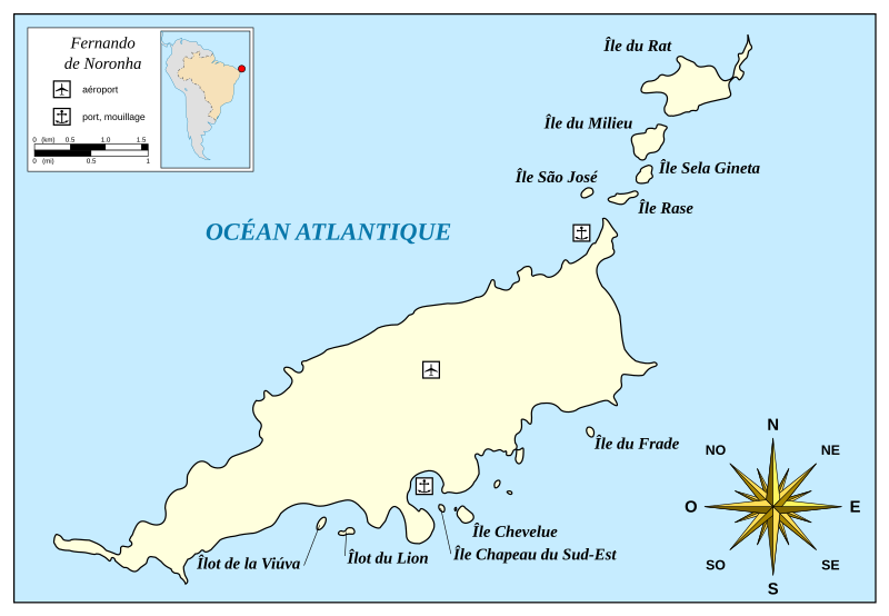
Français : Carte de l'archipel Fernando de Noronha. |
| Date | (UTC) |
| Source | |
| Author |
|
| Other versions |
[]
|


|
This SVG file contains embedded text that can be translated into your language, using any capable SVG editor, text editor or the SVG Translate tool. For more information see: About translating SVG files. |
| This is a retouched picture, which means that it has been digitally altered from its original version. Modifications: Translate in french. The original can be viewed here: Map of Fernando de Noronha-en.svg:
|
I, the copyright holder of this work, hereby publish it under the following license:
| I, the copyright holder of this work, release this work into the public domain. This applies worldwide. In some countries this may not be legally possible; if so: I grant anyone the right to use this work for any purpose, without any conditions, unless such conditions are required by law. |
Original upload log[edit]
This image is a derivative work of the following images:
- File:Map_of_Fernando_de_Noronha-en.svg licensed with PD-self
- 2010-06-27T20:00:15Z Antonsusi 1300x900 (28624 Bytes) Adjustings
- 2010-06-27T19:11:51Z Antonsusi 1300x900 (32837 Bytes) other font
- 2010-06-27T19:08:04Z Antonsusi 1300x900 (32826 Bytes) Valid SVG and others. See discussion for details.
- 2010-06-26T18:08:07Z Mysid 1276x913 (53500 Bytes) text should have black fill and no outline
- 2010-06-24T22:22:30Z Antonsusi 1276x913 (41591 Bytes) try again...
- 2010-06-24T22:20:41Z Antonsusi 1276x913 (41592 Bytes) Valid SVG
- 2009-06-02T22:51:25Z Mysid 1276x913 (76695 Bytes) fix compass rose
- 2009-06-02T22:47:38Z Mysid 1276x913 (76698 Bytes) {{Information |Description={{en|1=Map of Fernando de Noronha.}} |Source=Self-made in Inkscape; coastline based on Landsat photo S-25-000_2000. |Author=[[w:User:Mysid|Mysid]] |Date=2009-06-03 |Permission= |other_versions= }} {
Uploaded with derivativeFX
File history
Click on a date/time to view the file as it appeared at that time.
| Date/Time | Thumbnail | Dimensions | User | Comment | |
|---|---|---|---|---|---|
| current | 12:56, 16 August 2010 | | 1,300 × 900 (28 KB) | Xfigpower (talk | contribs) | {{Information |Description={{fr|1=Carte de l'archipel Fernando de Noronha.}} |Source=*File:Map_of_Fernando_de_Noronha-en.svg |Date=2010-08-16 12:55 (UTC) |Author=*File:Map_of_Fernando_de_Noronha-en.svg: [[w:User:Mys |
You cannot overwrite this file.
File usage on Commons
The following 7 pages use this file:
File usage on other wikis
The following other wikis use this file:
- Usage on fr.wikipedia.org
- Usage on fr.wiktionary.org
- Usage on nl.wikipedia.org
- Usage on www.wikidata.org