File:Map of Ingliston Park & Ride (OSM standard, zoom 17).jpg
Jump to navigation
Jump to search
Size of this preview: 641 × 600 pixels. Other resolutions: 257 × 240 pixels | 513 × 480 pixels | 742 × 694 pixels.
Original file (742 × 694 pixels, file size: 56 KB, MIME type: image/jpeg)
Captions
Captions
Add a one-line explanation of what this file represents
| Description |
This map was created from OpenStreetMap project data, collected by the community. This map may be incomplete, and may contain errors. Don't rely solely on it for navigation. |
|||||||||
| Date | ||||||||||
| Source | openstreetmap.org | |||||||||
| Creator |
OpenStreetMap contributors |
|||||||||
| Permission (Reusing this file) |
OpenStreetMap data is available under the Open Database License (details). Map tiles are licensed under the Creative Commons Attribution-ShareAlike 2.0 license (CC-BY-SA 2.0).
This file is licensed under the Creative Commons Attribution-Share Alike 2.0 Generic license.
|
|||||||||
| Geotemporal data | ||||||||||
| Bounding box |
|
|||||||||
| Georeferencing | If inappropriate please set warp_status = skip to hide. | |||||||||
| Object location | | View this and other nearby images on: OpenStreetMap |
|---|
.jpg¶ms=055.938960_N_-003.355640_E_globe:Earth_class:object_type:object_region:GB_&language=en)
File history
Click on a date/time to view the file as it appeared at that time.
| Date/Time | Thumbnail | Dimensions | User | Comment | |
|---|---|---|---|---|---|
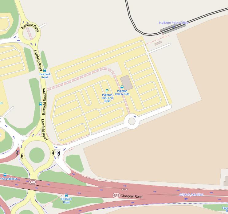
| current | 18:39, 24 March 2015 | | 742 × 694 (56 KB) | Ultra7 (talk | contribs) | {{OpenStreetMap |description = {{en|Map of the Ingliston Park & Ride site, part of the Edinburgh Park & Ride network.}} |date = 2015-03-24 |top =55.940601 |bottom =55.936430 |left =-3.360113 |right =-3.3521... |
You cannot overwrite this file.
File usage on Commons
The following 3 pages use this file:
.jpg&oldid=544191132)