File:Map of Italy blank.svg
Pumunta sa nabigasyon
Pumunta sa paghahanap

Size of this PNG preview of this SVG file: 480 x 600 na pixel. Ibang mga resolusyon: 192 x 240 na pixel | 384 x 480 na pixel | 614 x 768 na pixel | 819 x 1,024 na pixel | 1,638 x 2,048 na pixel | 1,200 x 1,500 na pixel.
Orihinal na file (SVG na file, nominal na 1,200 × 1,500 (na) pixel, laki: 822 KB)
Captions
Captions
Add a one-line explanation of what this file represents
Buod
[baguhin]
| Paglalarawan |
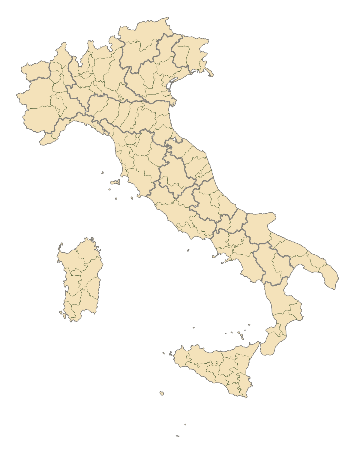
English: Blank map of Italy, divided in provinces. It can be easily divided even in regions. Situation before 2009. |
||
| Petsa | |||
| Pinanggalingan | Sariling gawa | ||
| May-akda | F l a n k e r | ||
| Permiso (Muling paggamit sa file) |
|
||
| Iba pang mga bersyon |
Derivative works of this file: |
.svg)
.svg)
.svg)
.svg)
.svg)
.svg)
Nakaraan ng file
Pindutin ang isang petsa/oras para makita ang file noong puntong yon.
| Petsa/Oras | Thumbnail | Sukat | Tagagamit | Komento | |
|---|---|---|---|---|---|
| ngayon | 19:42, 2 Agosto 2015 | | 1,200 × 1,500 (822 KB) | Carnby (usapan | ambag) | IT-TS+IT-88 |
| 22:54, 31 Hulyo 2015 |  | 1,200 × 1,500 (823 KB) | Carnby (usapan | ambag) | Rimini | |
| 19:56, 3 Disyembre 2009 |  | 1,200 × 1,500 (821 KB) | F l a n k e r (usapan | ambag) | Added provinces of Molise | |
| 00:15, 3 Disyembre 2009 |  | 1,200 × 1,500 (820 KB) | Vonvikken (usapan | ambag) | Fixed wrong borders between Abruzzo and Molise | |
| 11:58, 28 Marso 2007 |  | 1,200 × 1,500 (828 KB) | F l a n k e r (usapan | ambag) | ||
| 17:56, 12 Enero 2007 |  | 1,200 × 1,500 (552 KB) | F l a n k e r (usapan | ambag) | ||
| 12:10, 19 Nobyembre 2006 |  | 1,200 × 1,500 (559 KB) | F l a n k e r (usapan | ambag) | {{Information |Description=Blank map of Italy, divided in provinces. It can be easily divided even in regions. |Source= |Date=19 Nov. 2006 |Author=F l a n k e r |Permission= |other_versions= }} |
Hindi mo mao-overwrite ang file na ito.
Paggamit sa file
Ginagamit ng sumusunod na pahina ang file na ito:
- Atlas of Italy
- Italia
- Maps of Italy
- File:Aviano-dotmap.jpg
- File:Aviano dotmap.png
- File:Italien, Verwaltungseinheiten mit gotischer Backsteinarchitektur.png
- File:Italien Regionen Metropolitanstädte.png
- File:Map of Italian provinces (1954).svg
- File:Map of Italian provinces (1964).svg
- File:Map of Italian provinces (1968).svg
- File:Map of Italian provinces (1970).svg
- File:Map of Italian provinces (1974).svg
- File:Map of Italian provinces (1992).svg
- File:Map of Italian provinces - animated.gif
- File:Regione Abruzzo.svg
- File:Sicily location map.svg
- Category:Provinces of Italy
- Category:Provinces of Italy by region
Pandaigdigang paggamit sa file
Ginagamit ng mga sumusunod na wiki ang file na ito:
- Paggamit sa ast.wikipedia.org
- Paggamit sa ca.wikipedia.org
- Paggamit sa gl.wikipedia.org
- Paggamit sa hy.wikipedia.org
- Paggamit sa ia.wikipedia.org
- Paggamit sa it.wikinews.org
- Paggamit sa ru.wikipedia.org
- Paggamit sa tg.wikipedia.org
- Paggamit sa uk.wikipedia.org
- Paggamit sa www.wikidata.org