File:Map of Lake Baikal.png
Jump to navigation
Jump to search
Size of this preview: 800 × 392 pixels. Other resolutions: 320 × 157 pixels | 640 × 314 pixels | 1,146 × 562 pixels.
Original file (1,146 × 562 pixels, file size: 903 KB, MIME type: image/png)
Captions
Captions
Add a one-line explanation of what this file represents
Summary
[edit]
| Description |
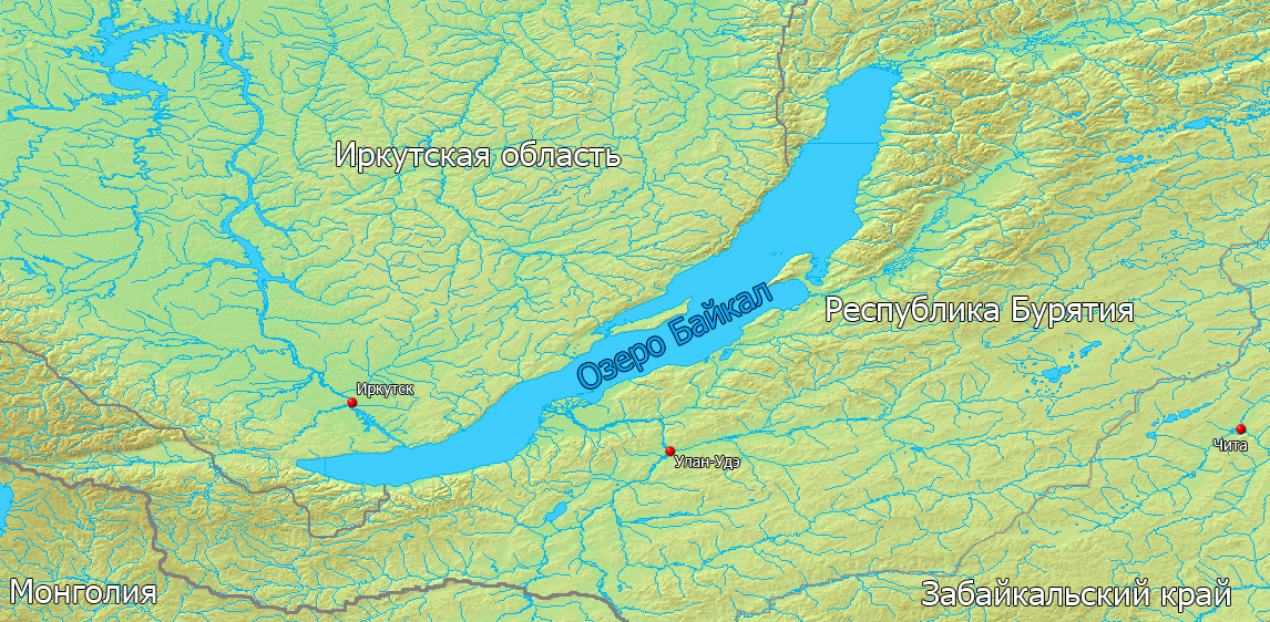
Русский: Карта озера Байкал |
||||
| Source | Own work by uploader. Use public domain maps from demis.nl. Add boundaries, points of city and russian labels. | ||||
| Author | DarkCorsar | ||||
| Permission (Reusing this file) |
|
Licensing
[edit]
| I, the copyright holder of this work, release this work into the public domain. This applies worldwide. In some countries this may not be legally possible; if so: I grant anyone the right to use this work for any purpose, without any conditions, unless such conditions are required by law. |
File history
Click on a date/time to view the file as it appeared at that time.
| Date/Time | Thumbnail | Dimensions | User | Comment | |
|---|---|---|---|---|---|
| current | 19:02, 14 August 2009 | | 1,146 × 562 (903 KB) | DarkCorsar (talk | contribs) | {{Information |Description={{ru|1=Карта озера Байкал}} |Source=Own work by uploader. Use public domain maps from demis.nl. Add boundaries, points of city and russian labels. |Author=DarkCorsar |Date= |Permission={{demis |
You cannot overwrite this file.
File usage on Commons
There are no pages that use this file.
File usage on other wikis
The following other wikis use this file:
- Usage on en.wikipedia.org
- Usage on wa.wikipedia.org