File:Map of the European Long Distance Paths.png
Aller à la navigation
Aller à la recherche
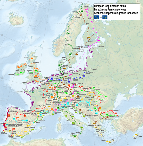
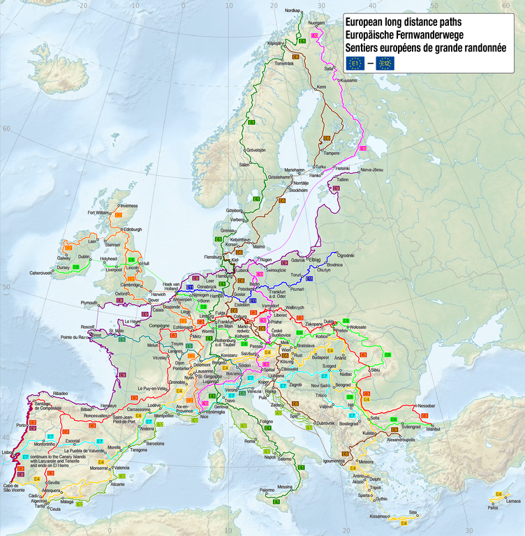
Taille de cet aperçu : 587 × 600 pixels. Autres résolutions : 235 × 240 pixels | 470 × 480 pixels | 752 × 768 pixels | 1 002 × 1 024 pixels | 2 004 × 2 048 pixels | 2 753 × 2 813 pixels.
Fichier d’origine (2 753 × 2 813 pixels, taille du fichier : 3,73 Mio, type MIME : image/png)
Légendes
Légendes
Ajoutez en une ligne la description de ce que représente ce fichier
| Description |
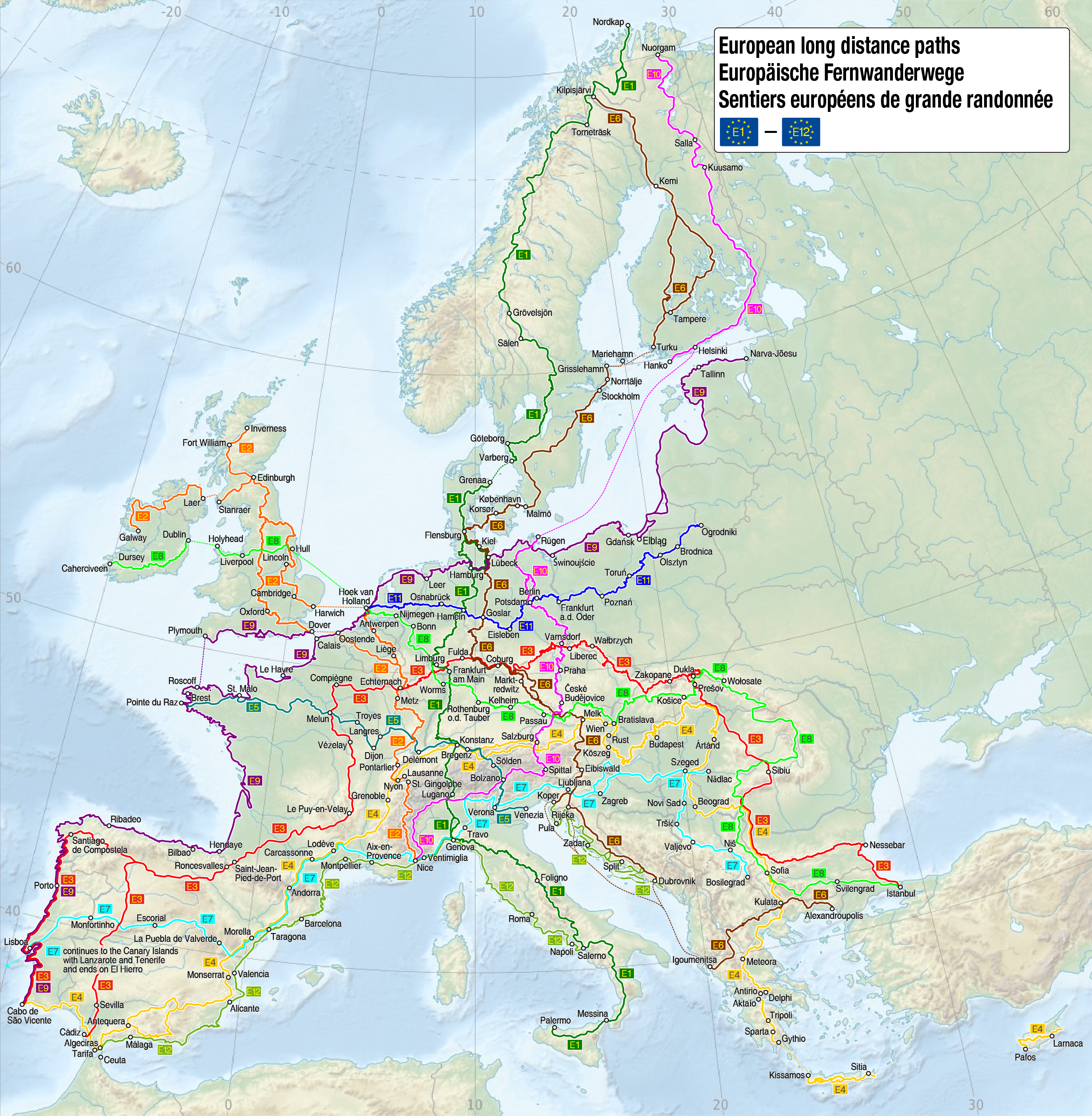
Deutsch: Karte der Europäischen Fernwanderwege
English: Map of the European long distance paths
Français : Carte des sentiers européens de grande randonnée |
| Date | see file history |
| Source |
Travail personnel, using
The information of the contents is from the following sources: |
| Auteur | Maximilian Dörrbecker (Chumwa) |
| Autorisation (Réutilisation de ce fichier) |
Moi, en tant que détenteur des droits d’auteur sur cette œuvre, je la publie sous la licence suivante : Ce fichier est disponible selon les termes de la licence Creative Commons Attribution – Partage dans les Mêmes Conditions 3.0 (non transposée).
Sie dürfen das Bild zu den folgenden Bedingungen nutzen:
|
| Autres versions |
|


|
Cette carte a été créée ou améliorée dans le Kartenwerkstatt (Atelier cartographique allemand). Vous pouvez également y proposer des cartes à améliorer.
|
Historique du fichier
Cliquer sur une date et heure pour voir le fichier tel qu'il était à ce moment-là.
| Date et heure | Vignette | Dimensions | Utilisateur | Commentaire | |
|---|---|---|---|---|---|
| actuel | 24 décembre 2017 à 11:22 | | 2 753 × 2 813 (3,73 Mio) | Chumwa (d | contributions) | E8 aktualisiert |
| 14 janvier 2017 à 09:55 |  | 2 753 × 2 813 (3,78 Mio) | Chumwa (d | contributions) | E3 korrigiert | |
| 13 février 2016 à 07:03 |  | 2 753 × 2 813 (3,78 Mio) | Chumwa (d | contributions) | E12 in Kroatien ergänzt | |
| 18 juin 2015 à 05:18 |  | 2 753 × 2 813 (3,77 Mio) | Chumwa (d | contributions) | Korrekturen und weitere Orte zur Orientierung | |
| 14 juin 2015 à 17:00 |  | 2 753 × 2 813 (3,48 Mio) | Chumwa (d | contributions) | {{Information |Description= {{de|1=Karte der Europäischen Fernwanderwege}} {{en|1=Map of the European long distance paths}} {{fr|1=Carte des sentiers européens de grande randonnée}} |Source={{Own}}, using * [[:File:European_long-distance_paths_osm.s... |
Vous ne pouvez pas remplacer ce fichier.
Utilisations locales du fichier
Les 26 pages suivantes utilisent ce fichier :
- User:Chumwa/Gallery
- User:Chumwa/OgreBot/Potential transport maps/2016 February 10-19
- User:Chumwa/OgreBot/Potential transport maps/2017 December 21-31
- User:Chumwa/OgreBot/Potential transport maps/2017 January 11-20
- User:Chumwa/OgreBot/Transport Maps/2015 June 11-20
- User:Chumwa/OgreBot/Transport Maps/2016 February 10-19
- User:Chumwa/OgreBot/Transport Maps/2017 December 21-31
- User:Chumwa/OgreBot/Transport Maps/2017 January 11-20
- User:Chumwa/OgreBot/Travel and communication maps/2016 February 10-19
- User:Chumwa/OgreBot/Travel and communication maps/2017 December 21-31
- User:Chumwa/OgreBot/Travel and communication maps/2017 January 11-20
- File:Map of the European Long Distance Path E1.png
- File:Map of the European Long Distance Path E10.png
- File:Map of the European Long Distance Path E11.png
- File:Map of the European Long Distance Path E12.png
- File:Map of the European Long Distance Path E2.png
- File:Map of the European Long Distance Path E3.png
- File:Map of the European Long Distance Path E4.png
- File:Map of the European Long Distance Path E5.png
- File:Map of the European Long Distance Path E6.png
- File:Map of the European Long Distance Path E7.png
- File:Map of the European Long Distance Path E8.png
- File:Map of the European Long Distance Path E9.png
- File:Map of the European Long Distance Paths.png
- File:Map of the European long distance paths.svg
- Category:European long-distance paths
Utilisations du fichier sur d’autres wikis
Les autres wikis suivants utilisent ce fichier :
- Utilisation sur ast.wikipedia.org
- Utilisation sur bg.wikipedia.org
- Utilisation sur ca.wikipedia.org
- Utilisation sur cs.wikipedia.org
- Utilisation sur da.wikipedia.org
- Utilisation sur de.wikipedia.org
- Utilisation sur de.wikivoyage.org
- Utilisation sur el.wikipedia.org
- Utilisation sur en.wikipedia.org
- Utilisation sur en.wikivoyage.org
- Utilisation sur eo.wikipedia.org
- Utilisation sur eo.wikivoyage.org
- Utilisation sur es.wikipedia.org
- Utilisation sur eu.wikipedia.org
- Utilisation sur fr.wikipedia.org
- Utilisation sur fy.wikipedia.org
- Utilisation sur hr.wikipedia.org
- Utilisation sur hu.wikipedia.org
- Utilisation sur hy.wikipedia.org
- Utilisation sur it.wikipedia.org
- Utilisation sur lb.wikipedia.org
- Utilisation sur nl.wikipedia.org
- Utilisation sur nl.wikibooks.org
- Utilisation sur pl.wikipedia.org
- Utilisation sur pt.wikipedia.org
- Utilisation sur ro.wikipedia.org
- Utilisation sur ru.wikipedia.org
- Utilisation sur sl.wikipedia.org
- Utilisation sur sv.wikipedia.org
- Utilisation sur www.wikidata.org
- Utilisation sur zh.wikipedia.org