File:Map of the Second Madagascar Expedition.jpg
Original file (924 × 1,563 pixels, file size: 282 KB, MIME type: image/jpeg)
Captions
Captions
Summary[edit]
| Description |
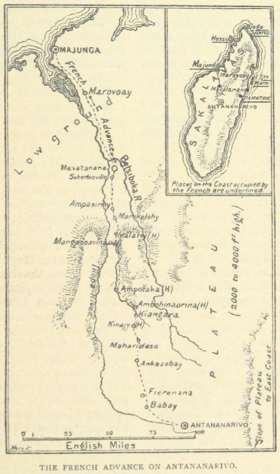
English: The French route during the Second Madagascar expedition. A second caption in the original text read "Note-The places marked thus (H) are fortified villages on the road from Mevatanana to the capital". |
||
| Date | |||
| Source |
From page 787of the 1899 book 'The Wars of the 'Nineties. A history of the warfare of the last ten years of the nineteenth century ... With ... illustrations ... and plans by the author'. Uploaded by the British Library to Flickr here. Cropped.
|
||
| Author | Andrew Hilliard Atteridge |

Licensing[edit]
|
This work is in the public domain in its country of origin and other countries and areas where the copyright term is the author's life plus 70 years or fewer. This work is in the public domain in the United States because it was published (or registered with the U.S. Copyright Office) before January 1, 1929. | |
| This file has been identified as being free of known restrictions under copyright law, including all related and neighboring rights. | |
File history
Click on a date/time to view the file as it appeared at that time.
| Date/Time | Thumbnail | Dimensions | User | Comment | |
|---|---|---|---|---|---|
| current | 03:58, 10 March 2016 | | 924 × 1,563 (282 KB) | Howicus (talk | contribs) | User created page with UploadWizard |
You cannot overwrite this file.
File usage on Commons
There are no pages that use this file.
File usage on other wikis
The following other wikis use this file:
- Usage on en.wikipedia.org
- Usage on it.wikipedia.org
- Usage on uk.wikipedia.org