File:Map of the seat of war showing the battles of July 18th & 21st 1861 LOC 2009579482.jpg
Jump to navigation
Jump to search

Size of this preview: 767 × 599 pixels. Other resolutions: 307 × 240 pixels | 615 × 480 pixels | 983 × 768 pixels | 1,280 × 1,000 pixels | 2,560 × 2,000 pixels | 9,812 × 7,666 pixels.
Original file (9,812 × 7,666 pixels, file size: 8.6 MB, MIME type: image/jpeg)
Captions
Captions
Add a one-line explanation of what this file represents
Summary[edit]
| Description |
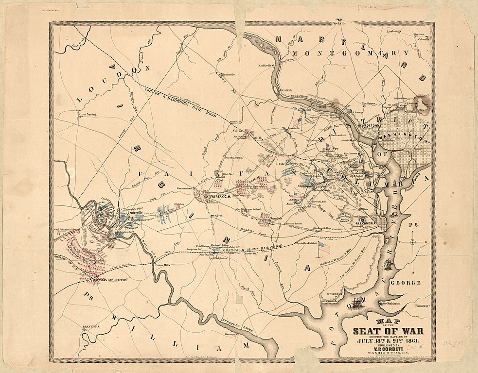
English: Relief shown by hachures. Includes flags, drawings of four ships in the Potomac River, additional place names, and camp sites (such as "rebel camp" at Annandale) Description derived from published bibliography. LC Civil War maps (2nd ed.), 563.4 Available also through the Library of Congress Web site as a raster image. Similar to G3884.M25S5 1861 .C64 CW 563.3, with the addition of compass directions. |
||
| Title | Map of the seat of war showing the battles of July 18th & 21st 1861 | ||
| Shelf ID | G3884.M25S5 1861 .C642 | ||
| Date | |||
| Source | https://www.loc.gov/item/2009579482/ | ||
| Author | Corbett, V. P.; A. Hoen & Co. | ||
| Permission (Reusing this file) |
|
||
| Other versions |
|
||
| Location | United States · Manassas Region · Virginia | ||
| Part of | Military Battles And Campaigns · American Memory · Civil War Maps · Catalog · Geography And Map Division | ||
| Subject | Bull Run, 1St Battle Of, Va · Bull Run, 1St Battle Of, Va. · Virginia · United States · Maps · Manassas Region |


Licensing[edit]
|
This is a faithful photographic reproduction of a two-dimensional, public domain work of art. The work of art itself is in the public domain for the following reason:
The official position taken by the Wikimedia Foundation is that "faithful reproductions of two-dimensional public domain works of art are public domain".
This photographic reproduction is therefore also considered to be in the public domain in the United States. In other jurisdictions, re-use of this content may be restricted; see Reuse of PD-Art photographs for details. | ||||
File history
Click on a date/time to view the file as it appeared at that time.
| Date/Time | Thumbnail | Dimensions | User | Comment | |
|---|---|---|---|---|---|
| current | 08:16, 4 June 2018 | | 9,812 × 7,666 (8.6 MB) | Fæ (talk | contribs) | LOC Maps https://www.loc.gov/item/2009579482/ #19622 |
You cannot overwrite this file.
File usage on Commons
The following page uses this file: