File:Map showing the route from Peitang and Taku to Tientsin and Peking (1860); Map of Country round Peitang and Taku Forts showing positions occupied by Allies Armies.tif
Jump to navigation
Jump to search

Size of this JPG preview of this TIF file: 750 × 600 pixels. Other resolutions: 300 × 240 pixels | 601 × 480 pixels | 961 × 768 pixels | 1,280 × 1,023 pixels | 2,560 × 2,046 pixels | 3,080 × 2,462 pixels.
Original file (3,080 × 2,462 pixels, file size: 21.71 MB, MIME type: image/tiff)
Captions
Captions
Add a one-line explanation of what this file represents
Summary
[edit]| Description |
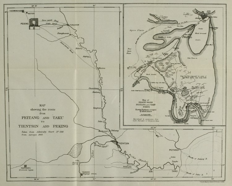
English: Map showing the route from Peitang and Taku to Tientsin and Peking (1860); Map of Country round Peitang and Taku Forts showing positions occupied by Allies Armies |
| Date | |
| Source | Hosea Ballou Morse: The International Relations of the Chinese Empire: 1834-1860 |
| Author | Unknown author |
Licensing
[edit]This work is in the public domain in the United States because it was published (or registered with the U.S. Copyright Office) before January 1, 1929.
Public domain works must be out of copyright in both the United States and in the source country of the work in order to be hosted on the Commons. If the work is not a U.S. work, the file must have an additional copyright tag indicating the copyright status in the source country.
Note: This tag should not be used for sound recordings. |
File history
Click on a date/time to view the file as it appeared at that time.
| Date/Time | Thumbnail | Dimensions | User | Comment | |
|---|---|---|---|---|---|
| current | 11:08, 20 June 2017 |  | 3,080 × 2,462 (21.71 MB) | Lucius Castus (talk | contribs) | User created page with UploadWizard |
You cannot overwrite this file.
File usage on Commons
The following page uses this file: